

-
 (Photograph by Natalie Maynor)
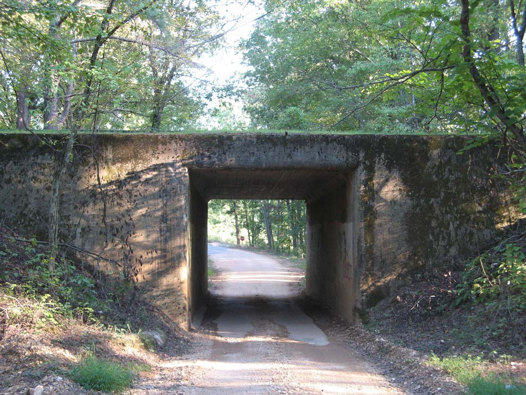
The Natchez Trace Parkway is a 444-mile, two-lane highway that winds its way through Tennessee, Alabama, and Mississippi, connecting the Cumberland and Mississippi rivers. The Parkway follows the ridgeline of the southern Appalachian foothills in Tennessee to the bluffs of Mississippi; along this route it is buffered by a swath of protected forest of hickory and oak woods in the northeast, passes through a diverse mix of pine and hardwoods, and on to the southern beech and oak forests in the southwest portion of the highway.
The Parkway started as an animal pathway, following the high ground in typical game trail fashion. The first people to walk and mark the trails were the Native Americans who inhabited the area and used it to connect settlements at the south end of the Mississippi River, which later became the town of Natchez, to those in middle Tennessee, which eventually grew into the city of Nashville.
In the late eighteenth century, white settlers began rafting their tobacco, grains, and hides down the Ohio and Mississippi rivers to the port of New Orleans. These boatmen became known as Kaintucks, a term used to describe all men from the north, not only those from Kentucky. After delivering their cargo to New Orleans, Kaintucks would sell their flatboat rafts for the lumber, and begin the arduous trek home. The homeward journey for these boatmen followed the Mississippi River, north to Natchez, at which point it veered east, following the Trace to Nashville.
Although Natchez and Nashville were well-established, the region between them was still largely unknown by white Americans. Around 1798, postal services were initiated between Natchez and Nashville, using the primitive Natchez Trace as a mail route. The road was nothing more than a footpath, but U.S. Army stations in the region soon began clearing out the trail for a wagon road.
The Natchez Trace played a significant role in the exploration and development of the southeastern United States, connecting the north and east to the south, and thus opening up the area to trade, religious missions, military action, and most notably, the infiltration of white settlers into Native American territory.
With the arrival of viable commercial transport by steamboat in 1830, overland trails like the Natchez Trace entered a period of decline. As steamboats began to carry passengers safely and quickly upriver, the Trace became obsolete, and fell into almost complete disuse. Early in the twentieth century, a group of elite white women, members of the Mississippi State Society Daughters of the American Revolution (MSSDAR), proposed the reinvention of the old road as an historic highway. In May 1934, President Roosevelt signed off on a $50,000 survey of the Trace. The following year, the Emergency Relief Appropriation Act allocated additional funding and construction began in 1937 under the auspices of the Public Works Administration. By 1938, MSSDAR advocacy paid off, and the road became an entity of the National Park Service (NPS).
The Parkway was built one section at a time and took 67 years to complete. The bulk of the work occurred during the NPS Mission 66 program (1956–1966), including a headquarters and visitor’s center in Tupelo. By 1966, with all but 7 miles completed, construction of the road stalled and it lagged until the early twenty-first century when it was finally finished in May 2005. Between 1938 and 2005, the Parkway’s overall construction costs ballooned to close to $2 billion and its utility had moved beyond automotive transportation. The Parkway was no longer a highway, as noted Trace historian Dawson Phelps observed, but rather “a long narrow park.”
Today, the Parkway connects Natchez to Nashville along a smooth, asphalt-paved, scenic route with a thickly wooded right of way for much of its length. Highlights of the Trace include many historic sites, such as the Meriwether Lewis burial site at the Grinders Stand (Milepost 385.9) and Mount Locust Historic Cotton Plantation (Milepost 15.5), a historic inn that was likely in use by the 1780s. It also includes an important archaeological site, the Emerald Mound Natchez Tribe Ceremonial Site (Milepost 10.3), dating from the Emerald Phase (1500 to 1680 CE) in the chronology of the Natchez Bluffs Plaquemine culture, but still apparently in use as a primary ceremonial center by the later historic Natchez people. The 8-acre platform mound is the second-largest Pre-Columbian earthwork in the country, after Monks Mound at Cahokia, Illinois. The Trace also hosts important landscapes including the Cypress Swamp (Milepost 122), where a boardwalk allows visitors to amble through the bald cypresses. The Sunken Trace (Milepost 41.5) is a remnant of the older trail, now deeply eroded. As a part of the modern Trace, there is the Double Arch Concrete Bridge at Birdsong Hollow (Milepost 438), the first concrete, double-arch, segmented bridge. Opened in 1994, it runs 1572 feet over the Hollow.
The Natchez Trace Parkway is visited by millions of tourists each year. While the Trace remains a popular route, the parkway has faced critiques as the new road runs through valleys and branches, rather than the ridges of the original path. Furthermore, accurate historical information along the parkway is scattered, and focuses primarily on the Kaintucks with insufficient attention on the Native American legacy of the trail. While the Parkway offers an abridged experience of the scenery through a car window, it connects to trails and campsites that allow for further exploration of the rich landscape.
References
Phelps, D. The Administrative History of the Natchez Trace Parkway. Unpublished manuscript, 1965. NTP Headquarters, Tupelo, Mississippi.
National Park Service. “Natchez Trace Parkway.” Accessed February 28, 2017. www.nps.gov.