


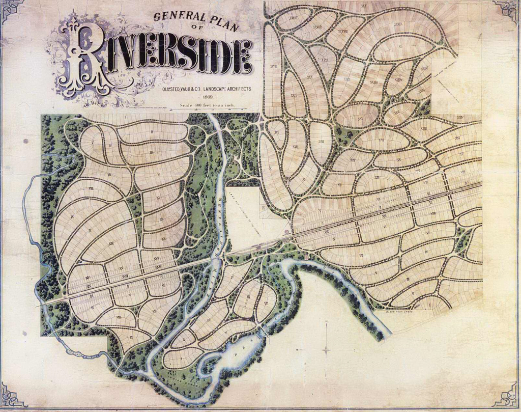

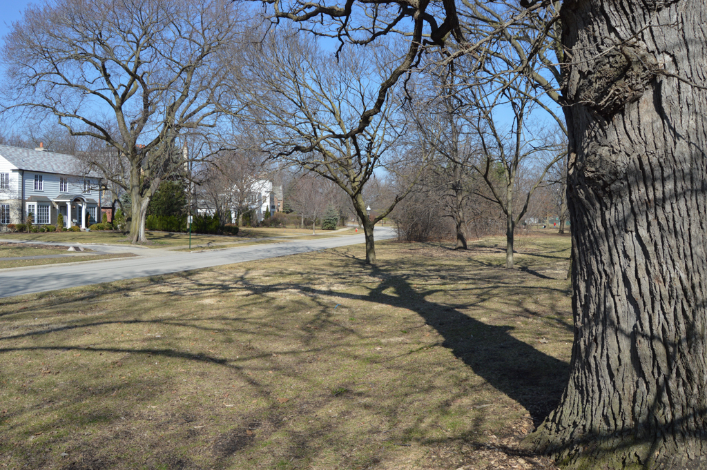


The general plan for Riverside, along with its development as a residential community during the late nineteenth and early twentieth centuries, is a landmark of American city planning. The picturesque suburb became an international model of the “garden city,” notable for its rejection of a street grid imposed over existing topography.
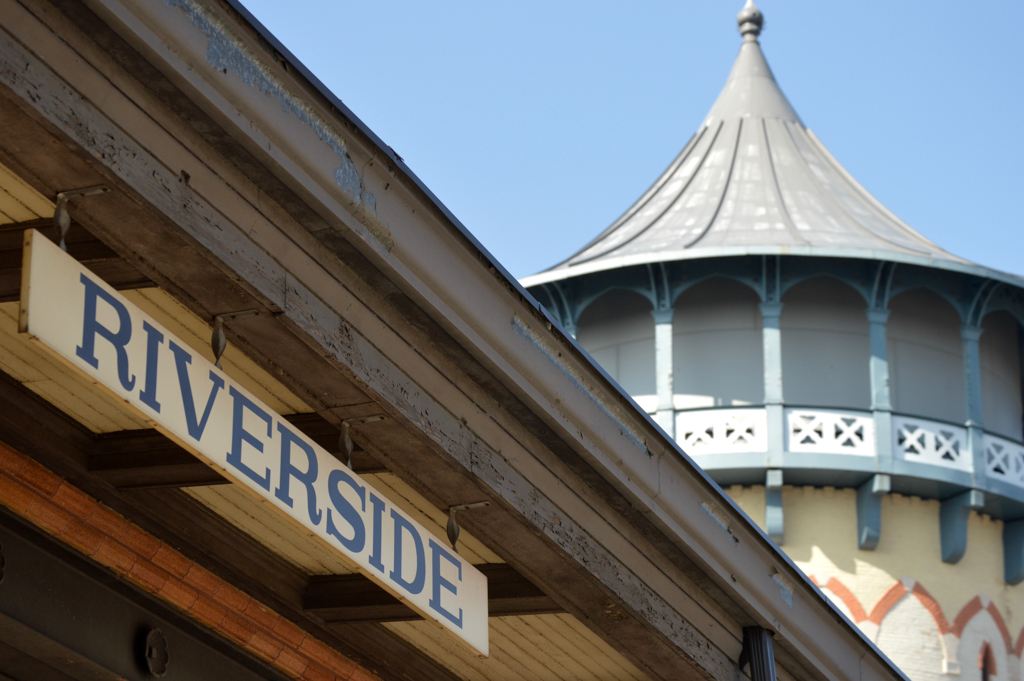
In 1868, the Riverside Improvement Company purchased 1,600 acres of a horse and cattle breeding estate located nine miles west of downtown Chicago along a railroad line. The company’s goal was to develop a new type of “suburban village” along either side of an oxbow on the Des Plaines River. Bisecting the site is a railroad line that runs roughly east to west, providing a direct commuter connection to the city.
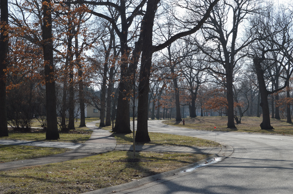
The developers hired Olmsted, Vaux and Company, the New York firm already well known for its designs of Brooklyn’s Prospect Park and Manhattan’s Central Park. At Riverside, the scheme called for curving streets and large residential lots (100 x 200 feet) that followed the contours of the gently sloping terrain. Nearly half of the village was dedicated to public open space, including two large commons, a riverbank and islands, small parks at street intersections, and generous walkways. Roadside trees were planted in irregular clusters and at least two trees were required in residential front yards.
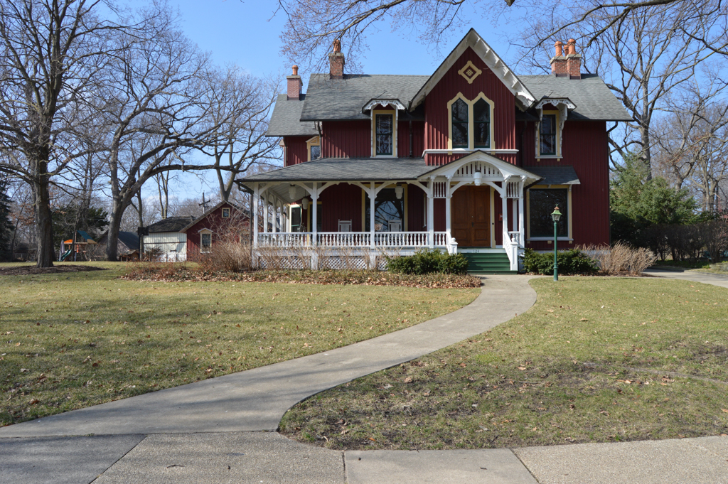
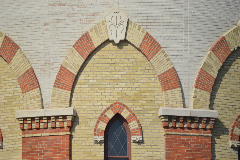
Just a dozen buildings remain from the 1870s and, of these, most were designed by those involved in the planning of Riverside, including Olmsted and Vaux, William LeBaron Jenney, and Frederick Withers. Approximately 160 houses remain from the 1880s and 1890s, the majority of them in the town’s southern half. The designs for these houses, in such styles as Queen Anne, Stick Style, and Second Empire, were inspired by architectural pattern books of the time.
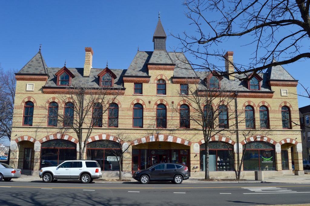
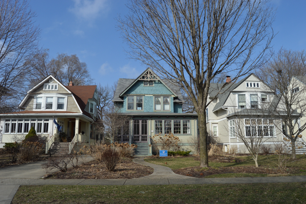
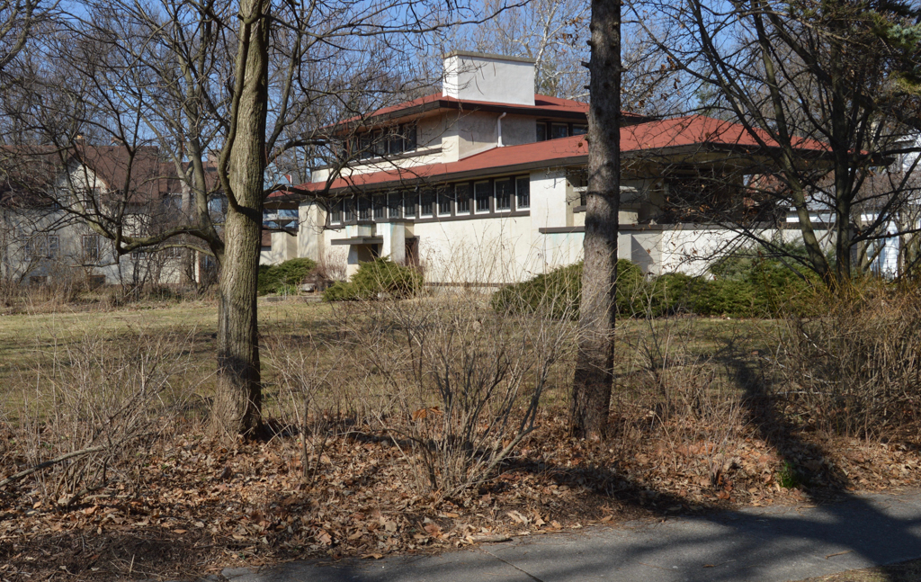
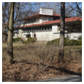
More than 350 other buildings date to the first two decades of the twentieth century. These are primarily residences designed in the era’s predominant Craftsman/Bungalow and Prairie styles and are widely distributed throughout the village. Riverside’s greatest residential growth occurred during the 1920s and 1930s, when the village population grew from 2,532 to 7,935. Many schools, commercial buildings, and apartments date to this period, as well as hundreds of houses—most of them designed in revival styles such as Colonial, Dutch, English Cottage, and Georgian.
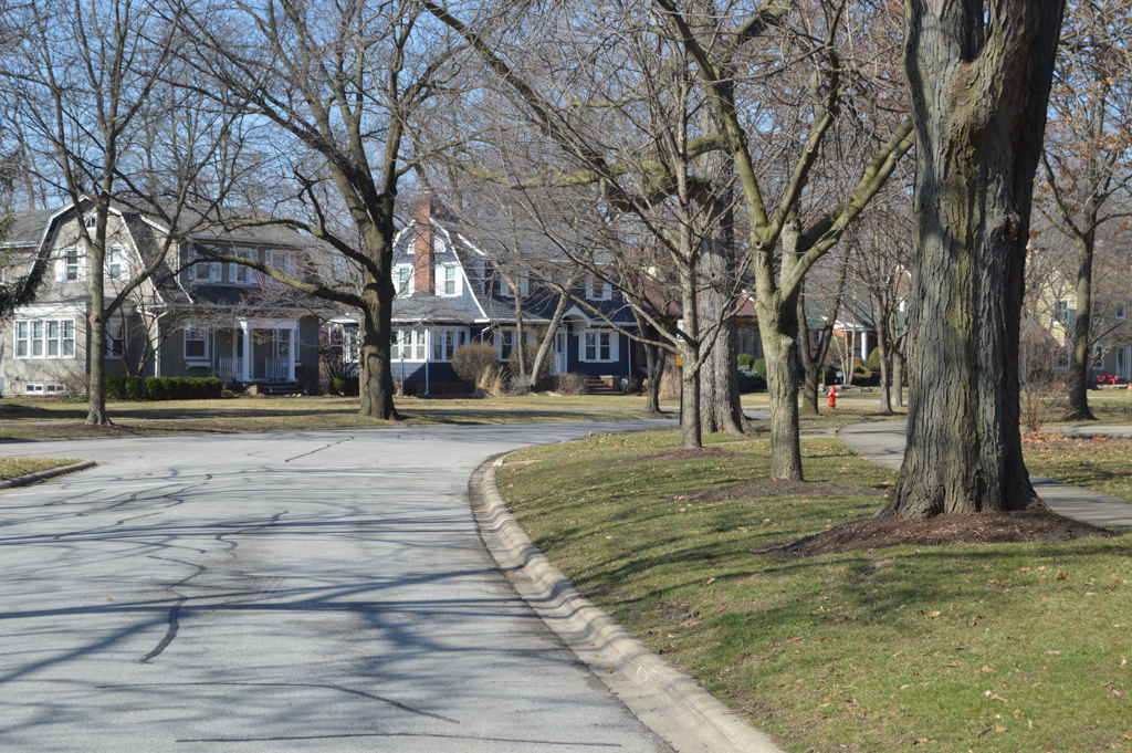
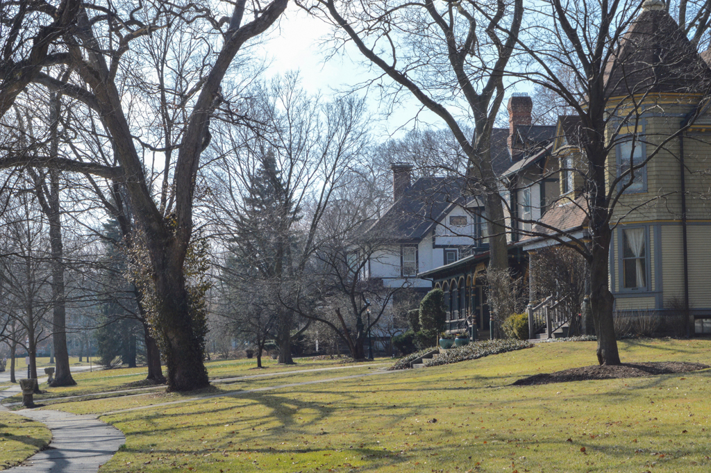
Despite the eclectic architecture, varied building types, and the introduction of automobiles, the village managed to retain its distinctive, almost rural character throughout the twentieth century and up to the present. This is largely due to the nature of the guiding plan, which called for large residential lots, substantial open space, and depressed roadways that ensured open expanses of green throughout the community.
References
Fabos, Julius Gy, et al. Frederick Law Olmsted, Sr.: Founder of Landscape Architecture in America. Amherst: University of Massachusetts Press, 1968.
Fein, Albert. Frederick Law Olmsted and the American Environmental Tradition. New York: George Brazilier, 1972.
Peters, James E., “Riverside,” Cook County, Illinois. National Historic Landmark Nomination Revision, 2007. National Park Service, U.S. Department of the Interior, Washington, D.C.
Reps, John. The Making of Urban America: A History of City Planning in the United States. Princeton, NJ: Princeton University Press, 1965.