Hawks Nest State Park in Fayette County, along with Pinnacle Rock State Park, are the two roadside parks in the West Virginia system built by the Civilian Conservation Corps (CCC). Originally built on 31 acres the state purchased in 1935, it was a perfect stop for automobile travel. The sublime views had drawn tourists to the area since at least the early 1800s. Perched above the New River, the site is bifurcated by Route 60, the historic Midland Trail, which was paved in the 1930s as part of the national highway system, and was named a National Scenic Byway in 2000.
To the west of Route 60 is the Main Overlook, locally known as Lovers’ Leap, built to capitalize on the spectacular views of the New River enhanced by the damming of the river in 1934. More recently, interpretive signs have been added to the short loop to the overlook describing one of the country’s largest industrial catastrophes, the Hawks Nest Tunnel Disaster, in which the mainly Black workforce who completed the hydroelectric project were exposed to toxic levels silica dust, causing around eighty percent of the men to sicken and hundreds to die of silicosis.
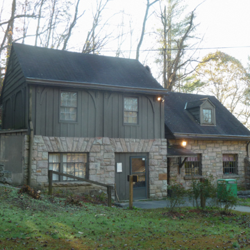
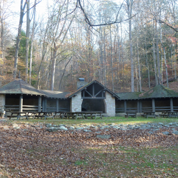
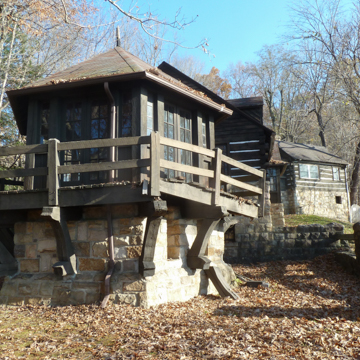
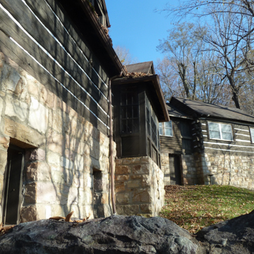
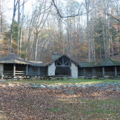
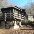
To the east side of the road is a welcoming U-shape that forms the picnic area with a shelter at the terminal point against the backdrop of the forest. Conveniently located for weary travelers and at the entrance to the picnic area are the Trading Post (concession) on the south and the bathrooms to the north. Up a winding flight of steps just beyond the Trading Post and above the picnic area is a large structure comprising an observatory attached by a hyphen to a museum and the assistant superintendent’s residence.
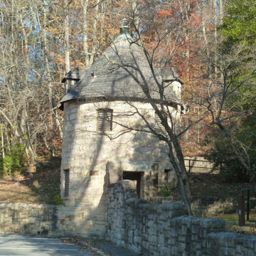
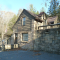
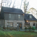
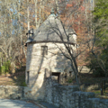
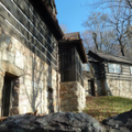
The dry stacked local sandstone work is a noteworthy feature of the site. The Main Overlook is reached by traversing a flagstone path and steps with stacked stone walls that forms a loop down to the panoramic viewing area above the river gorge. Its undulating stone wall is topped with a black iron railing. On the east side of the road the same stone and technique are used to form a wall that separates the picnic area from the parking lot. This wall is lowest in the center, revealing the shelter to the rear, and rises higher at each side as it connects with the smaller of the two buildings that form the Trading Post and the whimsical round tower with a conical roof that houses the restrooms. Each of these is also built of stone. A stone retaining wall defines the U of the site with stone fireplaces integrated into it. Stone picnic pads and walkways feature in the open expanse of the lawn. Built on a stone foundation, the shelter’s back wall is entirely of stone as are the sides of the two octagonal ends and the main entrance. Logs used as rails and in the gable of the entrance, although hefty, allow for visual access into the shelter. Stone also forms a wall around and the first story of the observatory/museum/house on the hill.
During the 1960s and 1970s, more land was added to Hawks Nest State Park and today it totals 838 acres. Several features were added at this time, including a lodge in 1967 in the “Cambridge Modern” style designed by The Architects Collaborative (TAC), of which Walter Gropius was a founding member. The small restaurant overlooks the gorge and river 750 feet below, as do most of the thirty-one guest rooms. A swimming pool, game courts, and aerial tramway were added at that time and the staff continues to develop hiking trails.
References
Gioulis, Michael. New Deal Historic Resource Survey. Charleston: West Virginia Division of Culture and History, Charleston, 2008.
Sweeten, Lena L., “New Deal Resources in West Virginia State Parks and State Forests,” West Virginia. National Register of Historic Places Multiple Property Documentation Form, 2010. National Park Service, U.S. Department of the Interior, Washington, D.C.
West Virginia State Park History Committee. Where People and Nature Meet: A History of the West Virginia State Parks. Charleston, WV: Pictorial Histories Publishing Company, 1988.


