

-
 (Photograph by Caroline Swope)
 -
 (Photograph by Caroline Swope)
 -
 (Photograph by Caroline Swope)
 -
 (HABS)
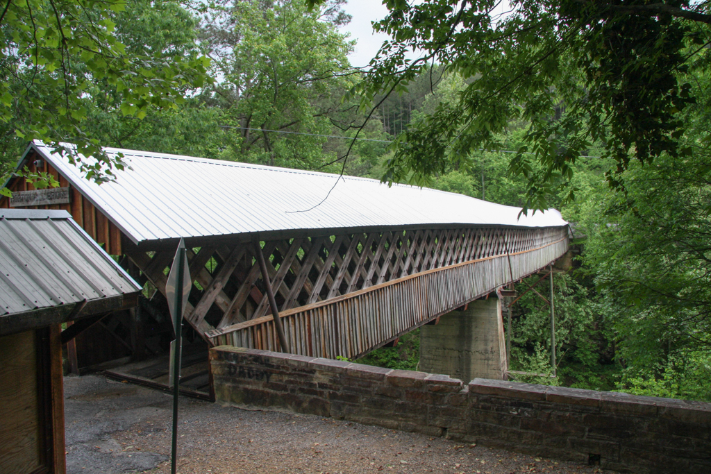
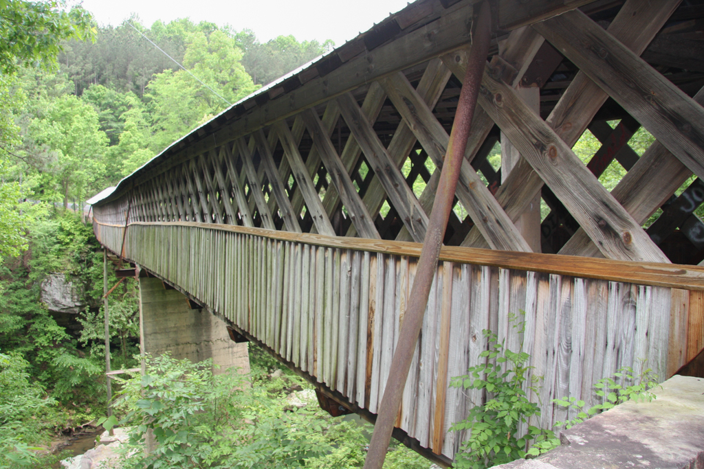
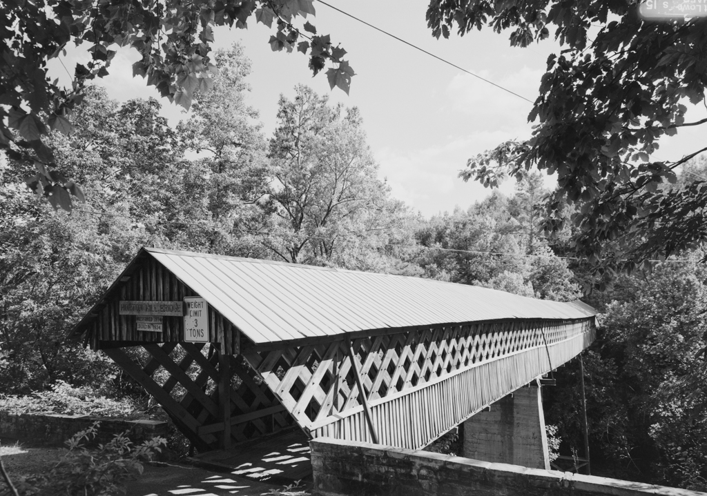
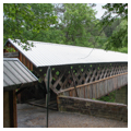
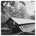
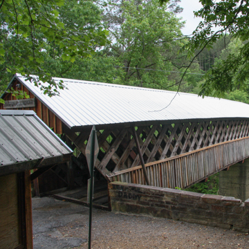
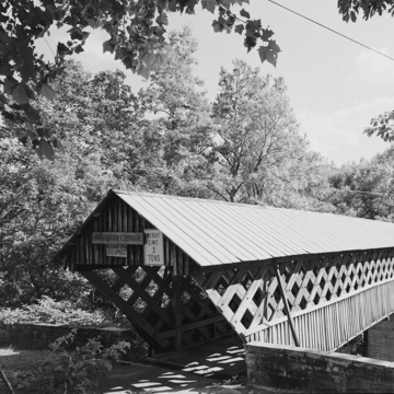
The Horton Mill Covered Bridge was the last covered bridge built in Blount County and, at 70 feet above the Calvert Prong of the Little Warrior River, is the highest covered bridge above any U.S. waterway.
Located in the Alabama uplands, this region contains the last vestiges of the Appalachian Mountain Range and is traversed by winding streams. This is the second covered bridge spanning the river near this location. The first, built in 1894, was located at the foot of Sand Mountain, about three-quarters of a mile downstream from the current bridge. Both structures were named after Thurman M. Horton, a local businessman who was instrumental in constructing the first bridge, which provided Sand Mountain residents faster access to Oneonta, where Horton’s mill and general store were located. Horton also constructed two dams on the river to provide power for his mills. The mill complex, which covered almost five acres, encompassed a corn and flour mill, a cotton gin, and a sawmill. A blacksmith shop, a general merchandise store, and a woodworking shop were also operated by Horton at the site.
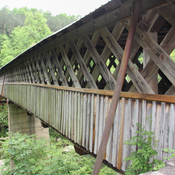
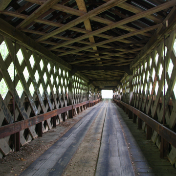
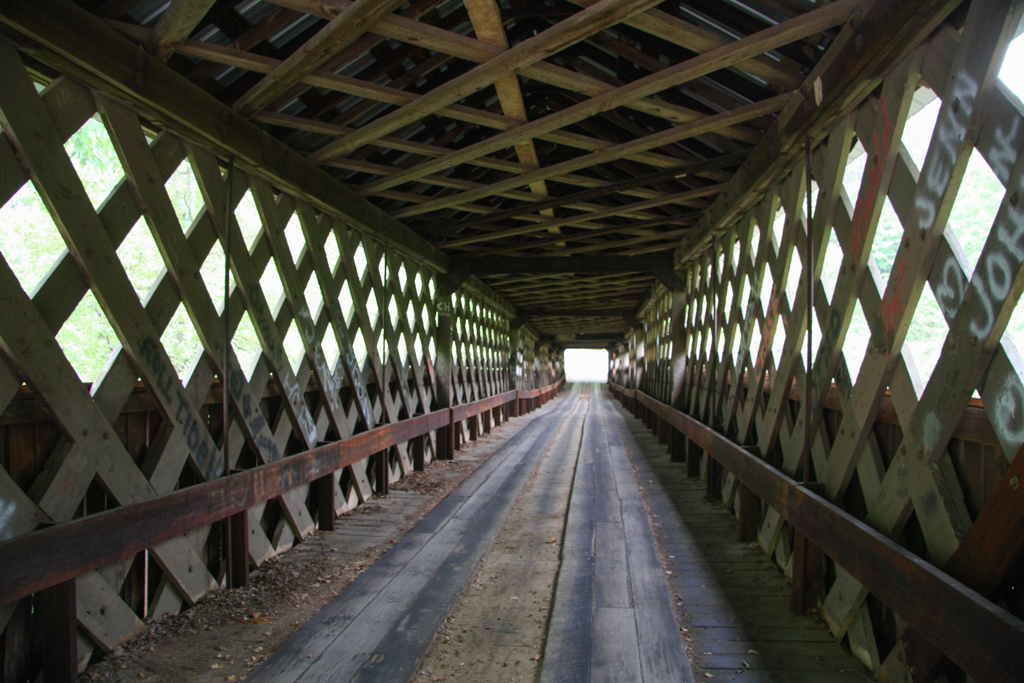
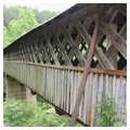
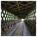
Construction of the current bridge started in 1934 and ended a year and a half later. It was led by Talmedge Horton, a descendant of Thurman Horton. Zelma C. Tidwell served as foreman, and helped construct three other prominent bridges in Blount County: the Easley, Nectar (destroyed in 1993), and Swann. The new Horton Mill Covered Bridge spanned 208 feet and was 11 feet wide with a vertical clearance of 8.5 feet. Plank lattice trusses, also referred to as Town lattice trusses after inventor Ithiel Town, were used in the bridge’s construction. Unlike earlier bridges that were fastened together with labor intensive mortise and tenon joinery, lattice trusses were constructed entirely of planks fastened with hardwood pegs. This method of construction was the cheapest and easiest to build, and did not rely on large dimension lumber typically found in bridges. The thickest cord was usually no more than 3 inches and planks longer than 32 feet were rarely required.
In 2007 the bridge was closed to vehicular traffic following a vandalism attempt that caused significant structural damage. Bob Smith Construction of Trussville, Alabama, was awarded a bridge restoration contract in 2011. Along with a new metal roof, structural members were also repaired or replaced as needed. The single lane bridge was reopened to vehicular traffic in 2013. One of three remaining historic covered bridges in the county, it is featured on the Blount-Oneonta Chamber of Commerce seal.
References
Bennett, Lola, “Horton Mill Covered Bridge,” Blount County, Alabama. Historic American Building/Engineering Record, 1970; addendum 2003. From Prints and Photographs Division, Library of Congress (AL-203).
Floyd, W. Warner, “Horton Mill Covered Bridge,” Blount County, Alabama. National Register of Historic Places Inventory–Nomination Form, 1970. National Park Service, U.S. Department of the Interior, Washington, D.C.
Kazek, Kelly. “Alabama's 11 surviving historical covered bridges.” Alabama Living, August 6, 2013.
Sangster, Tom, and Dess L. Alabama’s Covered Bridges. Bay Minette, AL: Coffeetable Publications, 1980.