


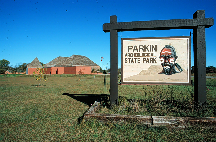

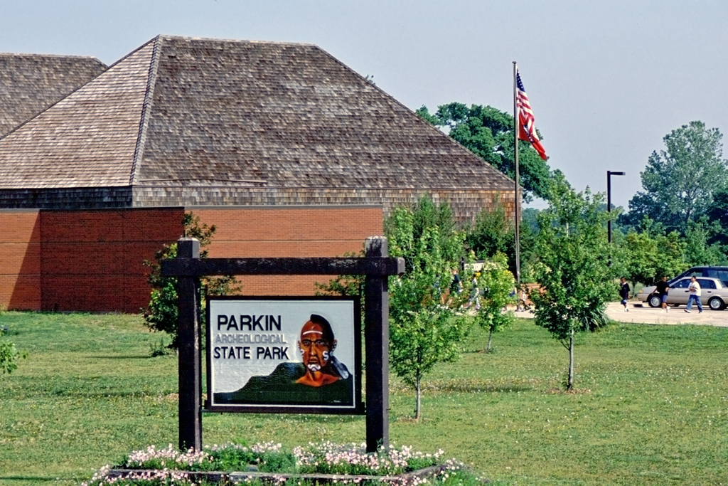
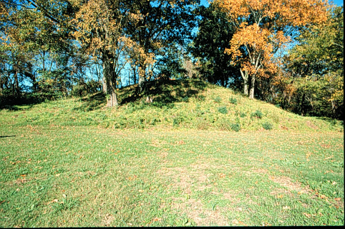
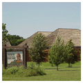
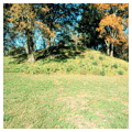
This National Historic Landmark where the St. Francis and Tyronza rivers converge contains Parkin Indian Mound. During the Pleistocene Age, 1.6 million years ago, the Mississippi River ran west of Crowley’s Ridge, and the Ohio River followed the path of the present-day Mississippi. Constantly changing course, the rivers eventually flowed together as one waterway, leaving behind oxbow lakes, swamps, natural levees, layers of alluvial soil, and paths for smaller streams that flow through the Delta. In the later Mississippian period, Native Americans found the area with its rich fertile soil and streams favorable for agriculture and for hunting and fishing. The Parkin site was enclosed within a three-sided protective ditch or moat and dominated by a central platform mound fronting on one or two plazas. Archeologists have also found sixteenth-century European artifacts here; these finds support the belief that the Spanish visited this site in 1541, and that it is the one described in Hernando de Soto’s journal as Casqui. The site survived because cotton farmers were unable to cultivate across the wide ditch. The park also includes a visitor center, a museum, and a research station.
You are here
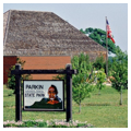
Parkin Archeological State Park
Data
-
Location: Parkin, ArkansasRegional Overviews:Architect:no metadata availableStyles:Materials:no metadata available
Citation
Cyrus A. Sutherland with Gregory Herman, Claudia Shannon, Jean Sizemore Jeannie M. Whayne and Contributors, "Parkin Archeological State Park", [Parkin, Arkansas], SAH Archipedia, eds. Gabrielle Esperdy and Karen Kingsley, Charlottesville: UVaP, 2012—, http://sah-archipedia.org/buildings/AR-01-CS1.
Print Source
Buildings of Arkansas, Cyrus A. Sutherland and contributors. Charlottesville: University of Virginia Press, 2018, 243-244.
If SAH Archipedia has been useful to you, please consider supporting it.
SAH Archipedia tells the story of the United States through its buildings, landscapes, and cities. This freely available resource empowers the public with authoritative knowledge that deepens their understanding and appreciation of the built environment. But the Society of Architectural Historians, which created SAH Archipedia with University of Virginia Press, needs your support to maintain the high-caliber research, writing, photography, cartography, editing, design, and programming that make SAH Archipedia a trusted online resource available to all who value the history of place, heritage tourism, and learning.