


Throughout the Mojave Desert—sited along the “Linear Oasis” of the Lower Colorado River Valley—lie over two hundred intaglios, also known as geoglyphs. This is the only area in the present-day United States to feature these forms, the most famous of which are the Blythe Intaglios, located in Blythe, California. Intaglios are found throughout the world, and while the word is derived from a printmaking technique, in the context of the built environment it refers to representations or designs that have been incised in the land, typically at a massive scale. One of the most famous examples is the Nazca lines in southern Peru.
The Blythe Intaglios were first discovered by pilot George Palmer in 1932; for decades thereafter, professional and amateur archaeologists alike discovered more and more geoglyphs throughout the region, including a team from the National Geographic Society which accidentally identified the “Ripley Group,” another set of geoglyphs located just south of Blythe along the Arizona side of the Colorado River. Today there are hundreds of documented intaglios throughout the American Southwest and in northwest Mexico; Blythe, which is on public land, is identified with a historical marker.
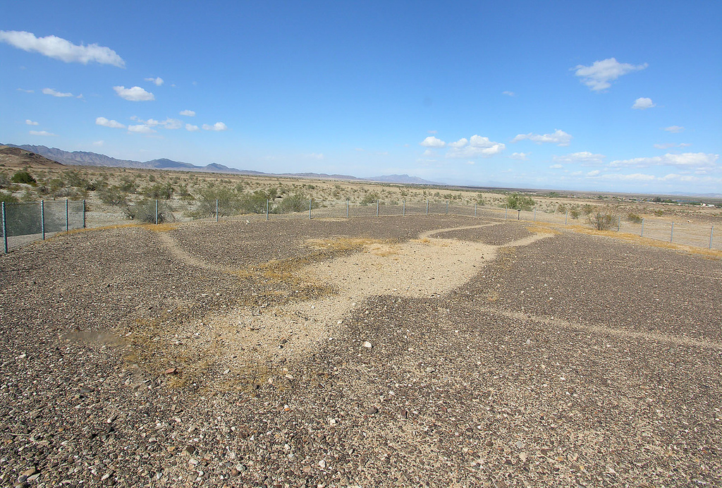
The Blythe site features anthropomorphic etchings of human figures, geometric patterns, and what appears as a quadruped, which some have deemed to be a horse or a mountain lion. The drawings seem to “float” on the ground irrespective of each other, but are likely interconnected symbolically through folkloric narrative. To form these depictions, surface-level pebbles and gravel were removed, forming slight ridges along the drawing and revealing the lighter soil beneath; this surface hardened into the figures we see today, though many of the designs have been disrupted by off-roading vehicles. What makes the contrast between scraped soils so distinct is the fact that the figures are often sited on swaths of “desert pavement” which has been darkened by a “desert varnish” resulting from a “solar-mineral-biological interaction.” This layer of top-soil is often very shallow, but can range from a few inches deep to over a foot, particularly towards the physical center of the designs. Some representations have been created through the alignment of darker rocks, though they otherwise lack additional decoration.
The largest figure at Blythe runs 171 feet in length, with a 158-foot wingspan, and represents a female form with outstretched arms and legs; Richard H. Stewart and Frank M. Setzler, in their September 1952 National Geographic article, describe her as having "exaggerated elbows and knees, rather well-defined fingers and toes, an abdomen slightly distended on the right side, an elongated neck, and quartzite stones to represent nose, mouth, and breasts."
What remains most intriguing about the Blythe Intaglios, however, is how little we know about their history and creators. This includes any consensus among scholars about the date of their creation; some archaeologists date the geoglyphs back 1,000 years, while others argue that they are much more recent, created within the past several hundred years. Scholars believe that Yuman groups created them, including tribes such as the Pima, the Maricopa, and the Mojave. Some have suggested that the figures represent characters from Yuman narratives, such as Mastamho and Hatakulya. Others have pondered whether the Blythe Intaglios, and neighboring sites along the Colorado River Valley, are perhaps related to the Yuman keruk ceremony. This was a mourning pilgrimage, and scholars such as Jeffery H. Altschul and Joseph A. Ezzo ( Proceedings of the Society for California Archaeology 8, 1995) suggest that the various intaglio sites were linked along a keruk trail. Another hypothesis (Bureau of Land Management, Department of the Interior, 1982) involves Yuman reactions to the changing climate such as the evaporation of Lake Cahuilla around 1500, causing the tribes to etch large-scale pleas to their gods into the desert soil. Whatever the ethnographic and folkloric significance behind the geoglyphs, their cultural importance to local tribes is incontrovertible, and it is for this reason that the State of California has listed them on the Sacred Lands Inventory through the Native American Heritage Commission.
Like other geoglyphs throughout the world, the sheer scale of the intaglios poses an intriguing mystery: How did Native Americans create these figures, assembling the lines into a massive, coherent representation, and how did they arrange individual drawings into a larger scene? We can appreciate these images today using technologies such as air travel and satellite photography, but certainly the Yuman could not, a reality which further begs the question: How were the Blythe Intaglios drawn, and for whom?
References
Altschul, Jeffrey H. and Joseph A. Ezzo. "Ceremony and Warfare along the Lower Colorado River during the Protohistoric Period." Proceedings of the Society for California Archaeology8 (1995): 133–45.
“Earth Figures of California-Arizona Colorado River Basin.” National Register of Historic Places Inventory-Nomination Form, December 1982. National Park Service, U.S. Department of the Interior, Washington, DC.
Leska, Amy. "A Brief Introduction to the Intaglios of the Mojave Desert." In Trough to Trough: The Colorado River and the Salton Sea,edited by Robert E. Reynolds, 125–26. California State University, Desert Studies Consortium and LSA Associates, Inc., April 2008.
Olsen, Brad. Sacred Places, North America: 108 Destinations. San Francisco: Consortium of Collective Consciousness Publishing, 2008.
Stewart, Richard H., and Frank M. Setzler. “Seeking the Secret of the Giants: A Flying Archeologist Attacks the Mystery of Strange Figures, Visible as a Whole Only from the Air, Outlined on Desert Mesas.” National Geographic Magazine(September 1952), 390–404.
“Yuman.” Encyclopedia Britannica. Accessed 13 June 2017. https://www.britannica.com/topic/Yuman