

-
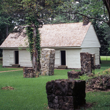 (Photograph by Karen Kingsley)
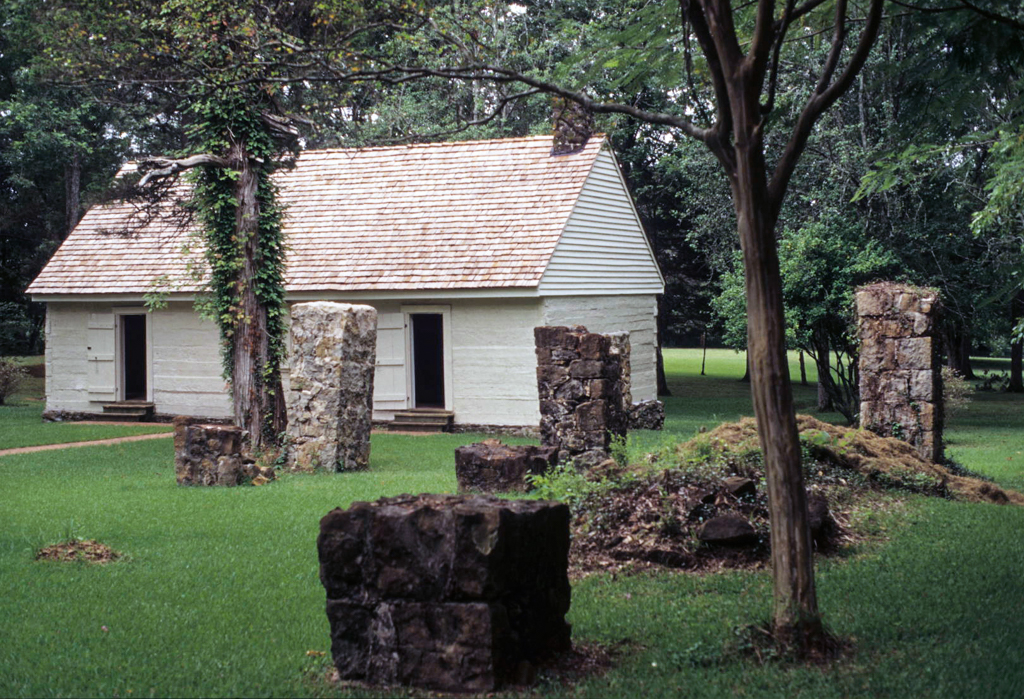
Located on the San Antonio Trace between the Red and Sabine rivers, Fort Jesup was established after the Louisiana Purchase of 1803 failed to define the western boundary of Louisiana. This resulted in a neutral corridor east of the Sabine River, known as the Sabine Strip or the Free State of Sabine, which became inhabited by adventurers, outlaws, and fugitives. Although the Sabine River was recognized in 1819 by the Adams-Otis Treaty as Louisiana's western boundary, full ratification of the treaty was delayed by continued disputes until 1836. The United States established Fort Jesup in 1822 to provide protection for settlers in western Louisiana and to prevent Spanish claims to the territory. Named for Brigadier General Thomas Sidney Jesup, it remained occupied until 1845. During the 1830s, the fort was a center of social activity, including balls and parties. General (later President) Zachary Taylor was the fort's first commander.
The fort was made up of tents until the log structures were built. Of the eighty-two buildings that once covered this twenty-two-acre site, only the kitchen–mess hall survives, although the stone foundations of some of the other buildings are visible. The kitchen–mess hall (c. 1826), which served the twenty to twenty-five men housed in the adjacent barracks, is a single-story, squared-log structure raised on low stone piers and has a stone fireplace. The interior has been restored and furnished with cypress tables and benches to convey a sense of its original appearance and use. In front of the kitchen are the stone piers that originally supported the barracks. A reconstructed officers' quarters--a two-story gable-roofed building with end chimneys and a two-level gallery across its facade—houses a museum.