


The Mystic River Reservation is a publicly owned nature reserve in Boston’s Metropolitan Park District, the first regionally organized park and open space system in the United States. In 1893, the newly formed Metropolitan Parks Commission (later renamed the Metropolitan District Commission) established the reservation, making it one of the first official nature preserves in Massachusetts, and one of five designed by the commission in that year.
For hundreds of years, native Massachusett people used the river MissiTuk (“great tidal river”) for travel, fishing, and as a source of fresh water. They built weirs to catch the salmon, bass, alewife, carp, and river herring that made an annual spring migration up the river to spawn. Colonists fished the river too, and soon established farms on its banks, built ships, mills, brickyards, tanneries, and factories that contaminated the river, nearly killing off the fish population.
By the nineteenth century, Boston was a booming city and international trading port. Its expanding population put pressure on infrastructure and demands on land use. The city annexed some of the nearby towns and built a transportation system. The Metropolitan Park Commission hired Frederick Law Olmsted protégé Charles Eliot to design a new park system. Building on Olmsted’s “Emerald Necklace” plan and working in collaboration with the journalist Sylvester Baxter, Eliot developed a comprehensive regional park system. His 1893 scheme was the first of its kind and soon became a model for other cities. It was organized around Boston’s three main rivers (the Neponset, Charles, and Mystic), and required the city’s acquisition of riverbanks, beaches, marshes, and hills, which would subsequently be protected from development and enjoyed as recreational spaces. The 250-acre Mystic River Reservation was an important part of the larger system, and with its wooded riverine landscape with a string of lakes at the floor of the Boston basin, it preserved significant portions of the shoreline. By 1895, most of the acreage for the Blue Hills, Middlesex Fells, and Stony Brook reservations was purchased, along with the Beaver Brook/Waverly Oaks property. Unfortunately, Eliot died of spinal meningitis in 1897 before any of the work was completed.
At the Mystic River Reservation, little was done initially to steward or improve the land and over time, environmental transgressions changed the river from salt to freshwater and its riverbanks to saline. Infrastructure construction also negatively impacted the reservation landscape. The 1909 Craddock Locks prevented the twice-daily tides from reaching the Upper River; the 1966 Amelia Earhart Dam prevented the tides from reaching the Lower River. Dumping of industrial waste became common all over the river area. In 1953–1963, an entire portion of the river was moved to make way for I-93; huge quantities of saline marsh were piled atop industrial waste, doubly polluting the site. Tests showed that levels of soil contamination were ten times higher than levels known to be toxic to plants. The salt marsh was dominated by phagramites—a common perennial wetland grass, the only species to take to the contaminated saline-hydrofill soil.
In the 1970s, the Metropolitan District Commission hired Carol R. Johnson and Associates (CRJA) to further develop Eliot’s master plan and address the problem of soil contamination. Her team proposed to layer in what she called a “gravel blanket” to prevent salt from leaching any further up the soil, and to cover that cap with a mix of soils incorporating much needed organic material. They planted fast-growing poplars and slow-growing oaks, ashes, and maples. Following Eliot’s plan that the reservation promote recreational uses, CRJA added a small hill for sledding, trails for walking, a small boat dock, benches at the water’s edge, and a tall viewing platform to afford encounters with wetland birds. At the water’s edge, the firm called for a single dump of rocks to preserve the edge until vegetation could take hold. Once it did, CRJA envisioned the plants would be kept thin and low to allow views through an open vista from a riverside bench.
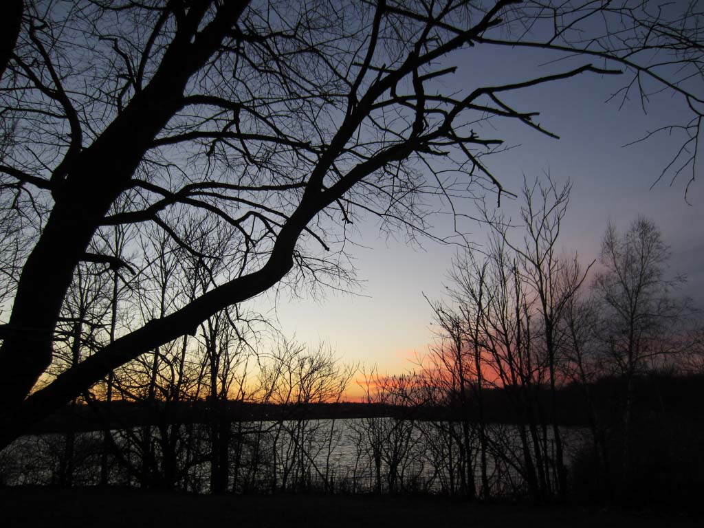
Since then, native sumac, ailanthus, and birch have crept back in among the phagramites. The reservation has become a prime spot for birding, and the annual herring migrations resumed, even up the locks and around the dam. Regulators cracked down on pollution and several new housing developments sprang up around the reservation, their residents making regular use of the parks. Public improvements continued in 2009, when the Massachusetts Department of Conservation and Recreation hired a team led by Crosby, Schlessinger and Smallridge to update the Mystic River Reservation master plan, expanding the protection of ecologically sensitive areas and adding a continuous public greenway.
References
“Division of Urban Parks and Recreation History.” Massachusetts Department of Conservation and Recreation. Accessed July 16, 2015. www.mass.gov.
Johnson, Carol R. Interview by Charles A. Birnbaum, 2006.
Massachusetts Department of Conservation and Recreation. “Mystic River Master Plan.” Massachusetts Department of Conservation and Recreation, November 2009.
Metropolitan Park Commission. A History and Description of the Boston Metropolitan Parks. Boston: Wright and Potter, 1900.
“Mystic River History.” Mystic River Watershed Association. Accessed March 4, 2017. www.mysticriver.org.