You are here

CASSELMAN BRIDGE

-A A +A
1813. 10240 U.S. 40 Alternate (National Pike) in Casselman River Bridge State Park
  • (Photograph by Chris Stevens)
  • (Photograph by Chris Stevens)
  • (Photograph by Chris Stevens)
  • (Photograph by Chris Stevens)
  • (Lisa Pfueller Davidson and Catherine C. Lavoie)

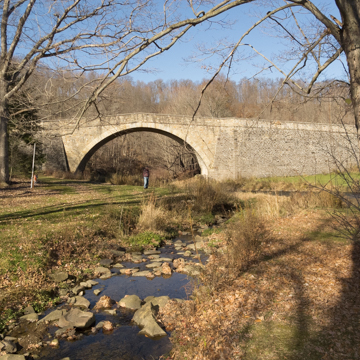
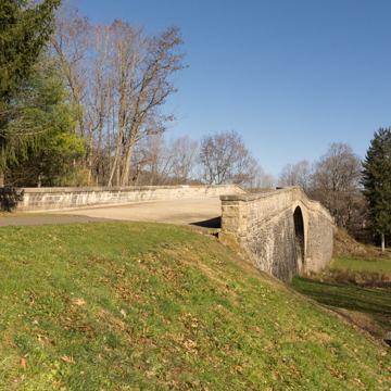
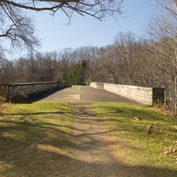
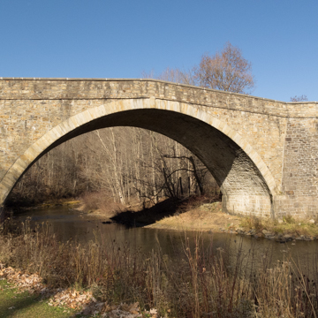
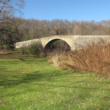
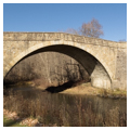
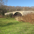
Casselman Bridge represents the technical achievements required to complete the National Road between Cumberland and the Ohio River during the early National period. Rugged terrain presented a significant challenge to the transport of goods and the early commercial development of this mountainous region. A signature engineering achievement of its day, the bridge was the largest single-arch stone span in the United States at the time of its completion, stretching 48 feet between abutments. The total span of nearly 360 feet brought the National Road across the Casselman River in what is now Garrett County.

Portions of the old National Road became the right-of-way for U.S. 40 in 1925, but the Casselman Bridge was by-passed entirely after 1933. Small sections of the original road are preserved as part of Casselman River Bridge State Park. Wilson’s Bridge (1819; Silas Harry builder; Independence Road), another more typical early National Road stone arch bridge with five spans, has been preserved as a small park where it crosses Conococheague Creek seven miles west of Hagerstown.

Writing Credits

Author: 
Lisa Pfueller Davidson and Catherine C. Lavoie
×

Data

Timeline

  • 1813

    Built

What's Nearby

Citation

Lisa Pfueller Davidson and Catherine C. Lavoie, "CASSELMAN BRIDGE", [Grantsville, Maryland], SAH Archipedia, eds. Gabrielle Esperdy and Karen Kingsley, Charlottesville: UVaP, 2012—, http://sah-archipedia.org/buildings/MD-01-WM67.

Print Source

Buildings of Maryland, Lisa Pfueller Davidson and Catherine C. Lavoie. Charlottesville: University of Virginia Press, 2022, 378-378.

If SAH Archipedia has been useful to you, please consider supporting it.

SAH Archipedia tells the story of the United States through its buildings, landscapes, and cities. This freely available resource empowers the public with authoritative knowledge that deepens their understanding and appreciation of the built environment. But the Society of Architectural Historians, which created SAH Archipedia with University of Virginia Press, needs your support to maintain the high-caliber research, writing, photography, cartography, editing, design, and programming that make SAH Archipedia a trusted online resource available to all who value the history of place, heritage tourism, and learning.

,