

-
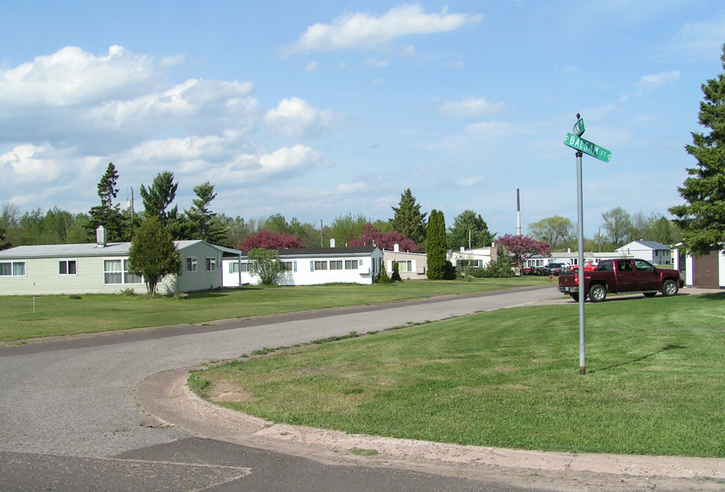
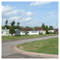
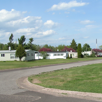 Mobile home park (Courtesy of Keweenaw National Historical Park)
 -
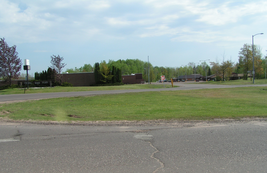
 Mineral River Plaza, with Konteka Building, restaurant, and bowling alley on left (Courtesy of Keweenaw National Historical Park)
 -
 Mine hospital and apartment complexes (Courtesy of Keweenaw National Historical Park)


White Pine is a post–World War II townsite planned by sociologists, architects, the federal government, and mining company officials. In 1953 the federal government financed the development of White Pine because it was concerned over the vulnerability of the nation's foreign mineral sources. By 1970 the White Pine Division of the Copper Range Company employed 2,600 people.
To “achieve a suitable and dependable employee force,” and to encourage skilled mechanics and other mine workers to take up residence at White Pine, rather than to commute 110 miles each way each day, the company commissioned Dow and Associates to plan the development, construction, and financing of White Pine. The master plan, developed in 1970–1971, conceived of neighborhood units of two hundred houses, separated by access streets, natural ravines, wooded areas, and drainage points, and surrounded by a large plot of natural woods; residential areas bordered by a golf course; a mobile home park clustered in circles; scattered apartments; and a separate commercial area. Herman Gundlach of Houghton executed plans for the Mineral River Plaza, a commercial center with a fifty-eight-thousand-square-foot shopping mall; the Konteka Building (400 Main Street), a restaurant, and a bowling alley; and White Pine Housing. Roycraft Industries Incorporated, a Michigan manufacturer of industrialized housing and mobile homes, provided modular housing. But ties to home prevailed and many workers continued to commute daily from Calumet and Ironwood. The plan was only moderately successful, because of the hesitancy to move to a one-industry town and the emphasis on FHA 235 housing, for which miners were ineligible because their wages were too high.
Landscape architect Arnold R. Alanen observed in the Journal of the American Planning Association (July 1979) that White Pine is similar to Babbitt, Hoyt Lakes, and Silver Bay, which were developed in the 1950s on the iron range of Minnesota. All four are located on large reserves of land with little competing development. Their residential areas are bypassed by traffic routes to the mine and removed from the extractive and processing activities. Today, like the others, White Pine consists of “relatively barren pocket[s] of open spaces surrounded by magnificent wilderness environments of pines.” The Copper Range mine and smelter closed in 1995.