

Fort Robinson
You are here
Fort Robinson State Park


1874–present. 3.2 miles west of Crawford on US Hwy. 20.
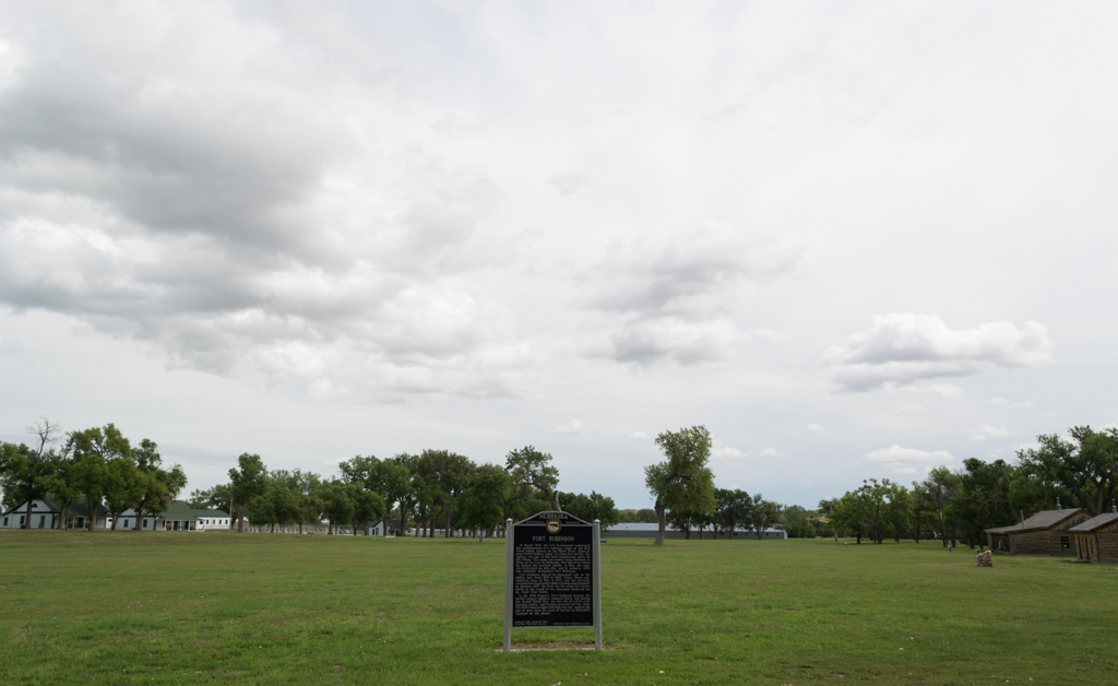


Fort Robinson played a critical role in the settlement of the West and is one of the most historically significant sites on the Great Plains. Fort Robinson and the nearby Red Cloud Agency were both intimately involved in the Indian-white conflict during the final years of Sioux and Cheyenne resistance from 1873 to 1890. The agency was created in 1868 to compensate thousands of Native Americans for land ceded to the United States government, but problems arose between the parties regarding the stipulations of the treaty. Hostilities between the Indians and government agents escalated to the point where it became necessary to provide military protection for government employees and property. In 1874 infantry and cavalry units arrived to establish Camp Robinson, named for First Lieutenant Levi Robinson, who had been killed earlier in the year by Indians from the Red Cloud Agency. In 1878 the expanding camp was renamed Fort Robinson. In that same year several large ranches were established in the region and, with the arrival of the railroad in 1886, many homesteaders moved to the area. The presence of Fort Robinson was a major factor in preventing a range war between the ranchers and homesteaders.
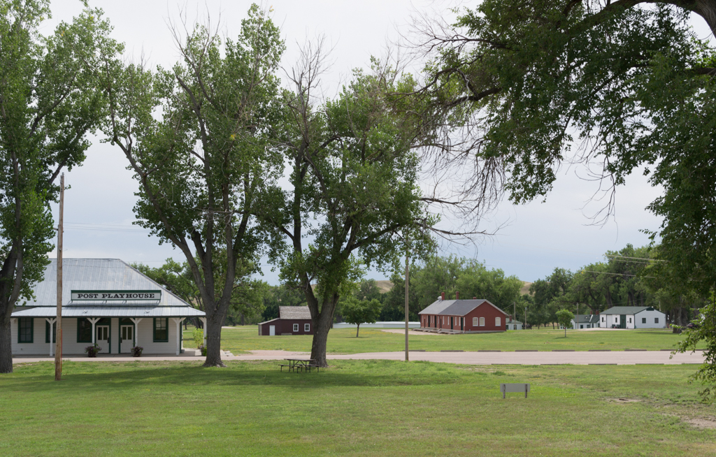
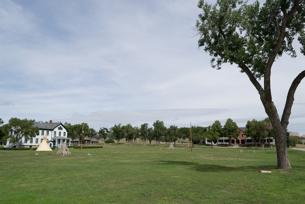
As an active military post, Fort Robinson has served not only as a focal point in the local Indian Wars but also as a frontier outpost, cavalry post, the world’s largest quartermaster remount depot for breeding and training thousands of horses and mules, war dog training center, and reception center for the nearby World War II German prisoner of war camp. In 1948 the fort was declared surplus property and was turned over to the United States Department of Agriculture (USDA) for use as a beef cattle research station. Prior to the station’s closing in 1971, the USDA tore down some of the structures at the fort. In the mid-1950s the Nebraska Game and Parks Commission and the Nebraska State Historical Society acquired ownership of many of the extant buildings on the site that are now included in the 22,000-acre Fort Robinson State Park.
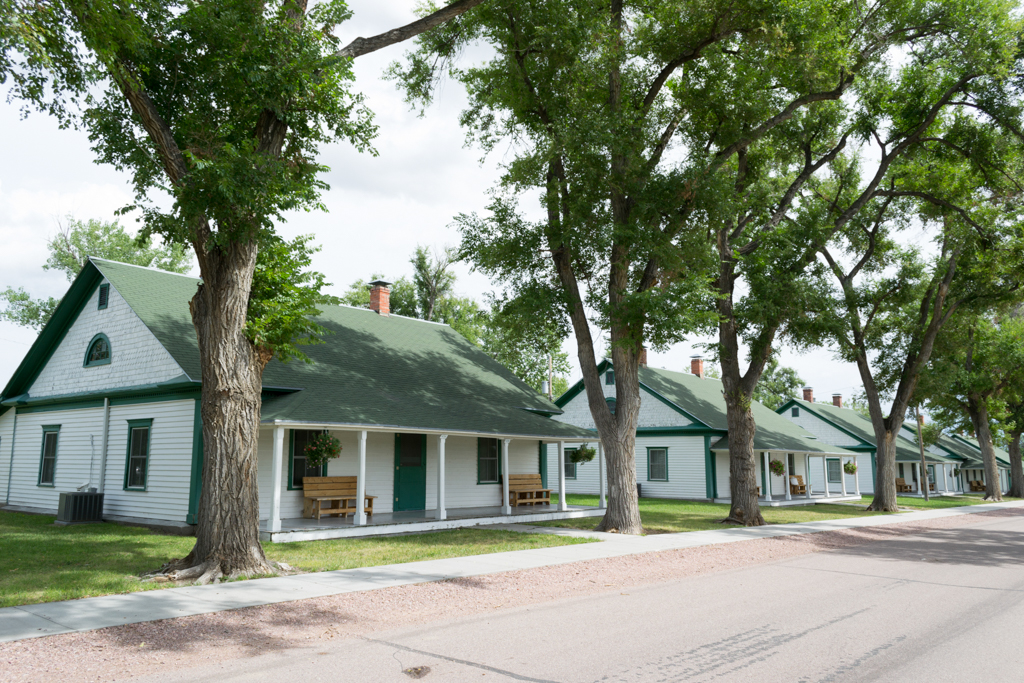
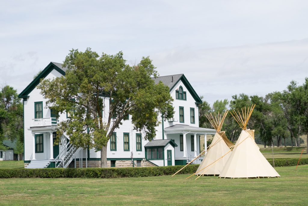
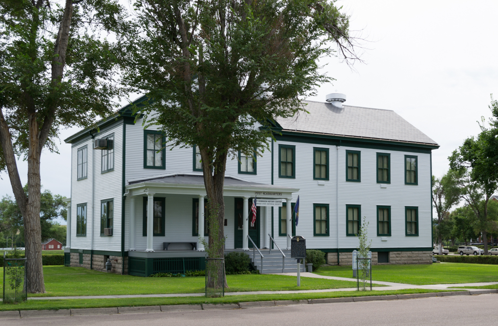
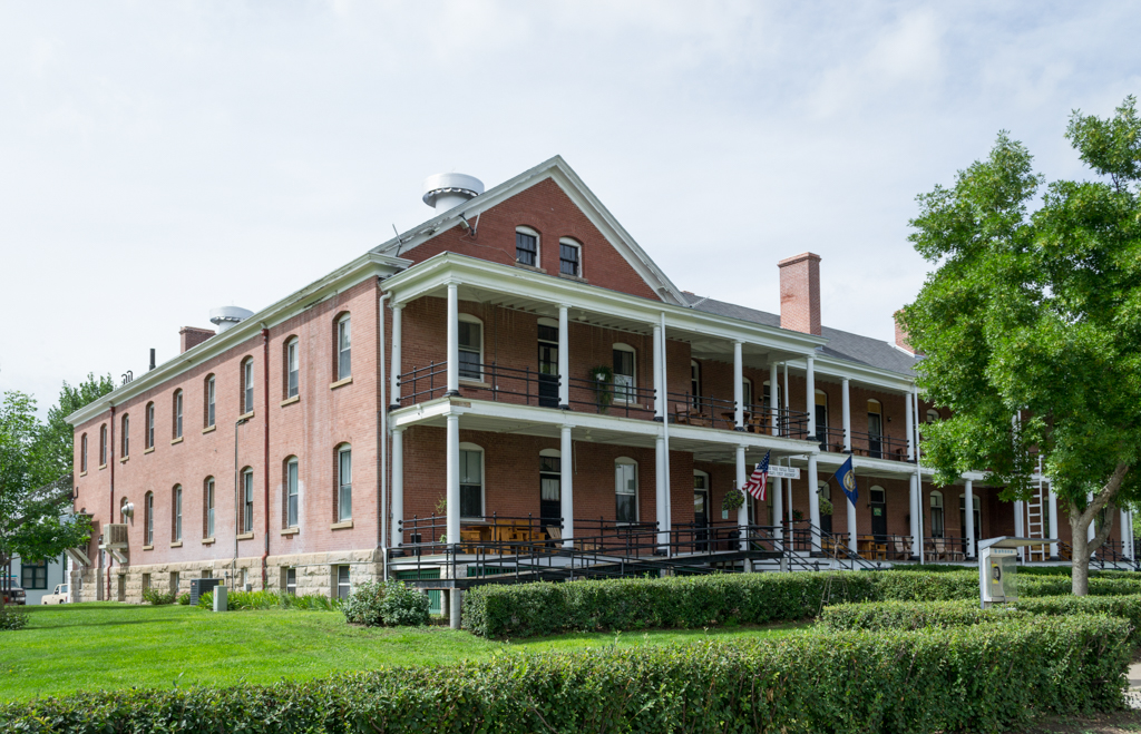
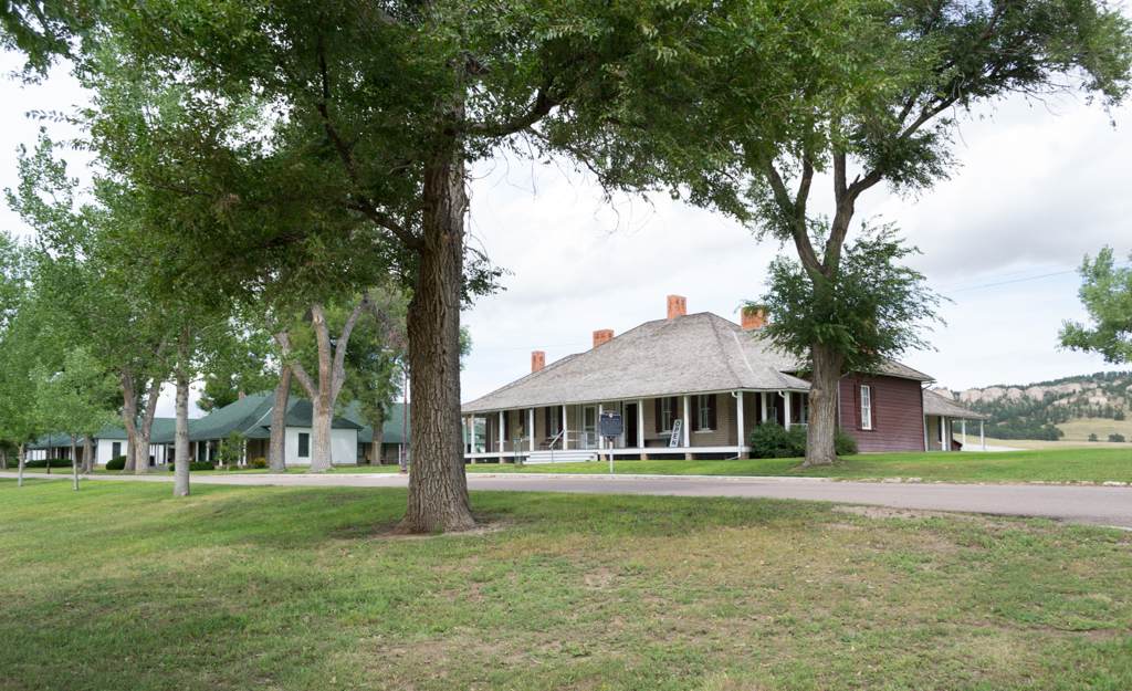
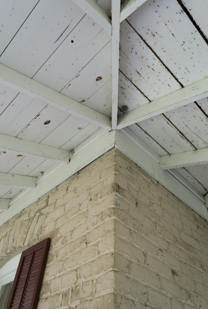
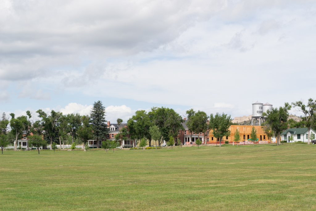
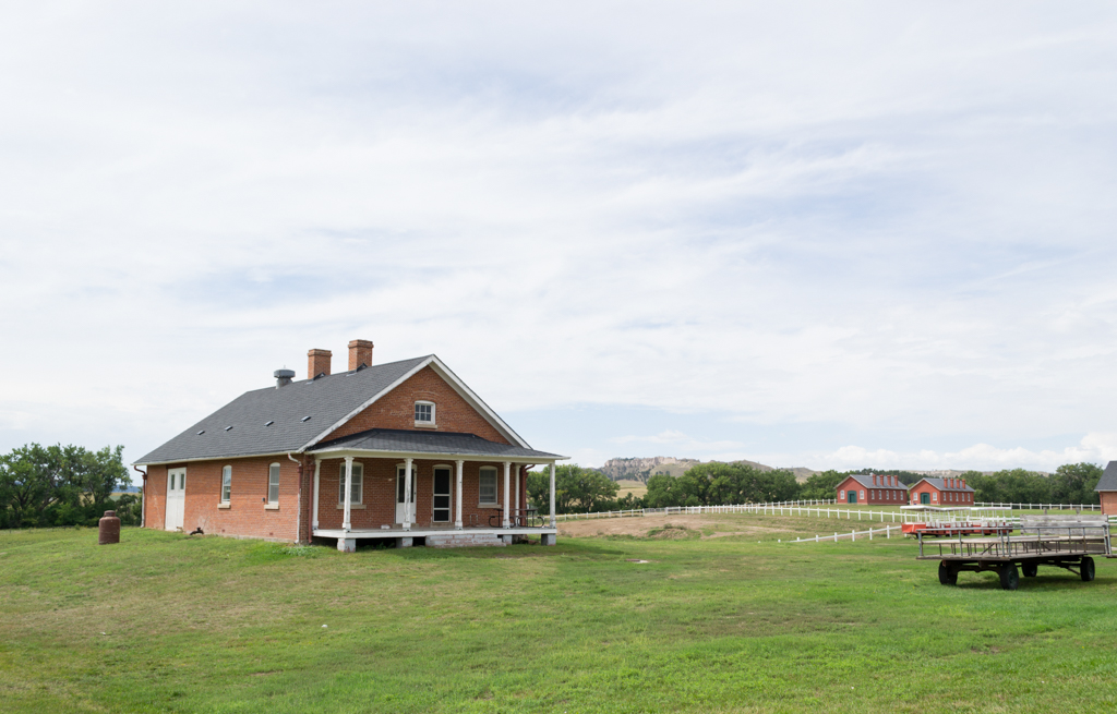
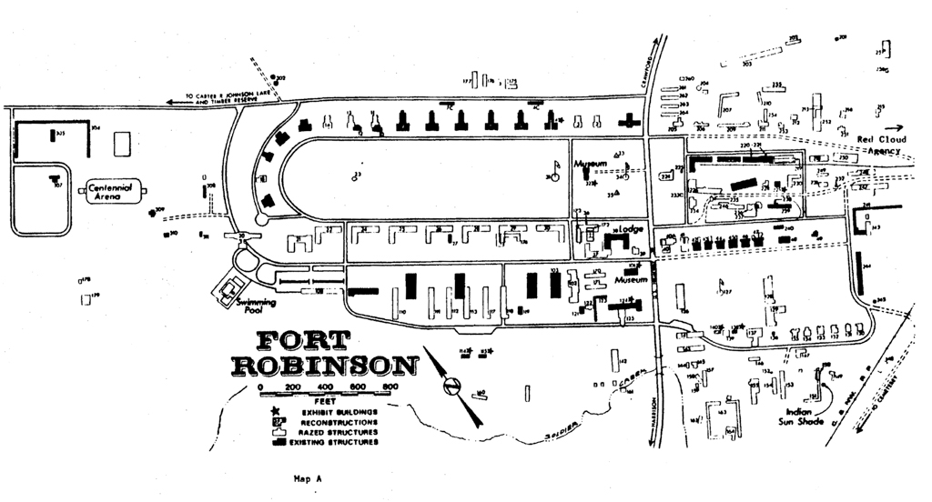
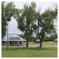
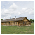
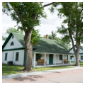
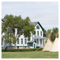
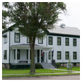
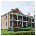
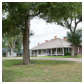
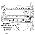
Based upon an open plan, as were most northern plains forts, Fort Robinson was not surrounded by defensive walls. The plan is oriented along a northwest-southeast axis. Over the years the fort has experienced numerous episodes of construction, demolition, rehabilitation, and reconstruction. Today several dozen buildings dating from the fort’s period of major activity remain. The oldest buildings, constructed in 1874, are six adobe brick officer’s quarters facing the old parade ground on the eastern portion of the site. The later, much larger, parade ground to the northwest is bordered on the north and west by several groups of adobe brick officer’s quarters built in 1887 and 1905. One of the six original enlisted men’s barracks, bordering the southeast side of the parade ground, has been reconstructed based on archaeological information and historical sources. Four cavalry stables, built in 1908, are located south of the barracks. The post headquarters, built in 1905, is located on a prominent site at the southeast end of the large parade ground. It is one of the few frame structures built on the post between 1900 and 1912. Today it is owned by the Nebraska State Historical Society and houses their branch office and museum. A short distance to the south of the post headquarters is a brick barracks built in 1909 that now serves as the Game and Parks Commission’s lodge, information center, and restaurant. Other historic structures on the site include the blacksmith shop, wheelwright shop, veterinary hospital, granary, and powder magazine. Numerous historic buildings located within the fort grounds house exhibits or serve as tourist accommodations for those visiting this National Historic Landmark.
References
Lissandrello, Steven, “Fort Robinson and Red Cloud Agency,” Dawes County, Nebraska. National Register of Historic Places Inventory–Nomination Form, 1983. National Park Service, U.S. Department of the Interior, Washington, DC.
Writing Credits
Coordinator:
H. Keith Sawyers
Peter Olshavsky
If SAH Archipedia has been useful to you, please consider supporting it.
SAH Archipedia tells the story of the United States through its buildings, landscapes, and cities. This freely available resource empowers the public with authoritative knowledge that deepens their understanding and appreciation of the built environment. But the Society of Architectural Historians, which created SAH Archipedia with University of Virginia Press, needs your support to maintain the high-caliber research, writing, photography, cartography, editing, design, and programming that make SAH Archipedia a trusted online resource available to all who value the history of place, heritage tourism, and learning.