


The best and only preserved extant example of a fortified village in New Mexico, Chimayó’s Plaza del Cerro exemplifies the planning model that formed the basis for surrounding settlements established at Santa Cruz de la Cañada to the west, and at Las Trampas and Los Ranchos de Taos to the north.
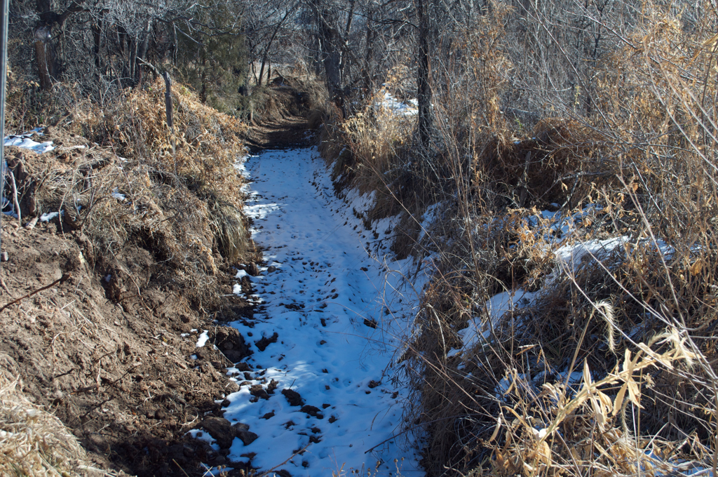
Founded around 1730, Chimayó (from a Tewa name for a local landmark, the hill of Tsi Mayoh) and the Plaza del Cerro (“Plaza of the Hill”) reflect two key concerns of the Spanish Crown that shaped the New Mexican landscape in the late seventeenth and eighteenth centuries. The first was the location in a fertile basin of the Sangre de Cristo Mountains, where lush land and water proved ideal for the construction of the extensive network of irrigation ditches ( acequias) that continue to run through this agricultural settlement. The second was the growing insecurity bred by threat of Indian uprisings and revolts throughout the region. The Pueblo Revolt of 1680–1692 was the catalyst for the Crown to direct the construction of defensible settlements, a concern that gained renewed relevance in the eighteenth century with the need to protect Spanish settlements against Plains Indian raiders passing through the Sangre de Cristo Mountains.
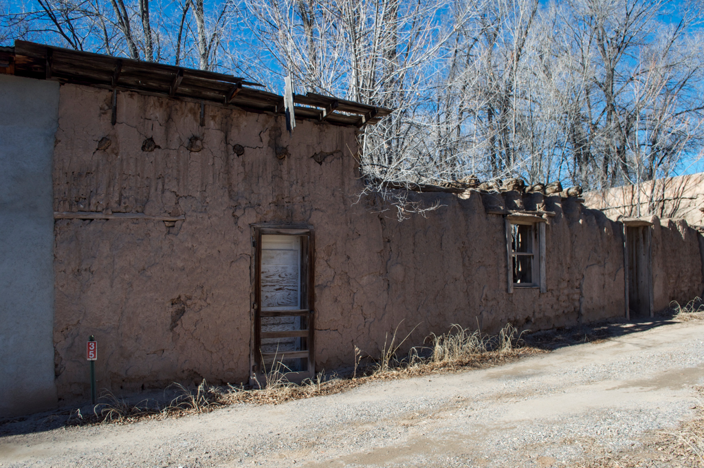
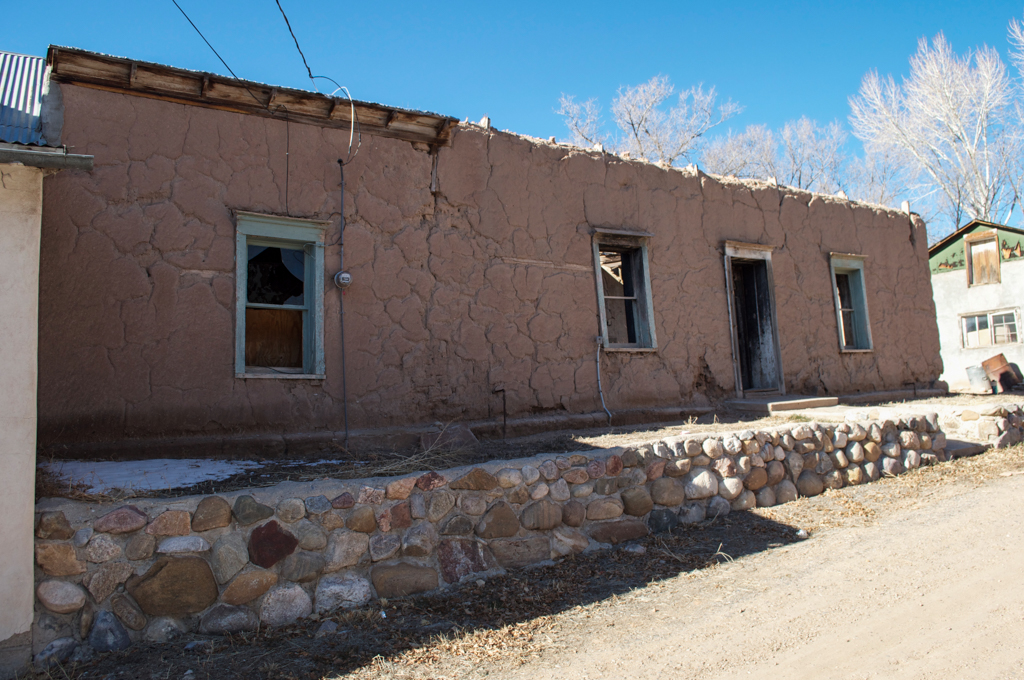
Originally comprising an area of 1.6 acres, the plaza was lined with one-story adobe houses without outward-facing doors or windows. This created a defensible enclosure that was only accessible by narrow passageways on the east and west sides. The houses were built of adobe, covered with adobe plaster and roofed with vigas, latillas, and earth. Typical of Spanish Colonial villages, daily life at Chimayó revolved around the plaza, which was the site of trade, mercantile activity, community gatherings, and religious festivals. An oratorio with small wooden bell tower, used as a community chapel from the early 1800s onward, still stands on the plaza’s west side.
As Chimayó grew in the eighteenth century, it expanded outward and eastward toward the mountains with new houses and an extended network of irrigation ditches for the cultivation of corn, wheat, chilies, pinto beans, apples, cherries, and apricots in adjacent fields. The acequias used the natural gravity of water descending from mountain streams, resulting in a linear or cordillera pattern of settlement as the new houses were built in a line along the ditches.
By the early nineteenth century, the threat of attacks by the Comanche and Apache had significantly decreased; this was particularly the case for Chimayó, with its inland site elevated above the surrounding plains. Woven blankets became a source of income and trade with towns located along the route north from Santa Fe to Taos, and weaving was established as an economically and culturally significant local craft.
Chimayó became a destination for pilgrims and later, tourists, with the 1816 construction of the nearby pilgrimage church of El Santuario de Chimayó, officially named La Capilla de Nuestro Señor de Esquípulas. The arrival of the railroad in New Mexico in the late nineteenth century gave Chimayó access to jobs and capital in the surrounding region, and prompted new residential and commercial development both on and around the plaza. The introduction of milled lumber, along with a regional adaptation of the Greek Revival (the so-called the Territorial Style), led to the addition of pedimented doors and window frames to the houses.
The plaza was bisected by a ditch in the 1930s and its structures fell into disrepair after World War II. Chimayó’s population declined as many of the town’s younger inhabitants entered the service or sought employment in larger urban centers.
Despite these pressures, Chimayó remains a living community in which Spanish Colonial settlement patterns, buildings, and cultural customs persist into the twenty-first century. Weaving traditions, maintained for generations by local families, are among several artisanal crafts that are still practiced in the village, providing much needed economic support.
References
Bunting, Bainbridge. Early Architecture in New Mexico. Albuquerque, NM: University of New Mexico Press, 1976.
Bunting, Bainbridge. Of Earth and Timbers Made: New Mexico Architecture. Albuquerque, NM: University of New Mexico Press, 1974.
Treib, Marc. Sanctuaries of Spanish New Mexico. Berkeley: University of California Press, 1993.
Wilson, Chris and David Kammer. La Tierra Amarilla: Its History, Architecture, and Cultural Landscape. Santa Fe, NM: Museum of New Mexico Press, 1989.
Wilson, Chris. The Plazas of New Mexico. San Antonio: Trinity University Press, 2011.