


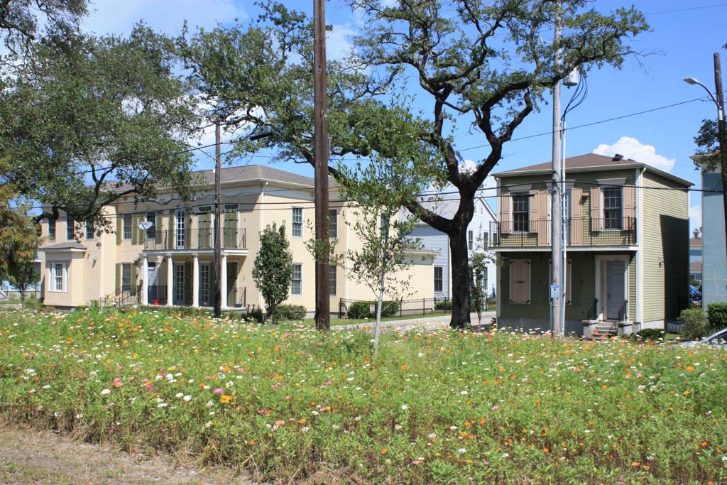
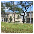
The Lafitte Greenway, a 3.1-mile linear park, was one of the first revitalization projects initiated in New Orleans following Hurricane Katrina (2005). The 54-acre site roughly follows the paths of the former Carondelet Canal (built in the 1790s) and later railroad rights-of-way that connected the inner city (Vieux Carré and Central Business District) through Bayou St. John and Lake Pontchartrain to the outside world. This corridor, passing through several historic nineteenth- and twentieth-century neighborhoods (notably Tremé), is today a rich mix of residential, retail, and industrial uses that represents the city’s economic, social, political, architectural, environmental, and cultural histories.
Planning for the Greenway began in early 2006 when a small group of neighborhood activists and design professionals, alarmed by the City’s initiative to sell off property and street rights-of-way for a private development of dubious public benefit, coalesced around urban design opportunities presented in post-hurricane recovery efforts. The group organized, expanded via social media outlets, and started annual “Walk the Corridor” events to bring public attention to the potential this corridor had for a unique linear parkway. Members advocated for the greenway concept at all opportunities, developed a strategic vision that was widely distributed, and lobbied elected officials and community stakeholders in efforts to build consensus for the idea. This strategy paid off, and when federal funding became available for post-Hurricane Katrina recovery projects, this concept had evolved and secured widespread community support, making it among the first such ventures to be initiated.
After delays and false starts at the end of one political administration and the beginning of a new one, the City engaged the Austin office of Design Workshop and formal planning began in 2010; ground was broken in 2014, and the Greenway opened in 2015.
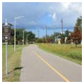
The construction budget was modest, yet the lead consultant assembled a multidisciplinary effort incorporating public input, synthesizing measurable objectives (including stormwater management and restoring the urban tree canopy), and working across a range of scales to transform this undeveloped corridor into what is now an active greenway for non-motorized access through neighborhoods in the city’s central core. Extensive community engagement ensued through a series of public meetings, individual stakeholder meetings, and presentations. The resulting master plan outlines developmental stages that extend the corridor to Canal Boulevard and identifies amenities that can be added as future funding becomes available.
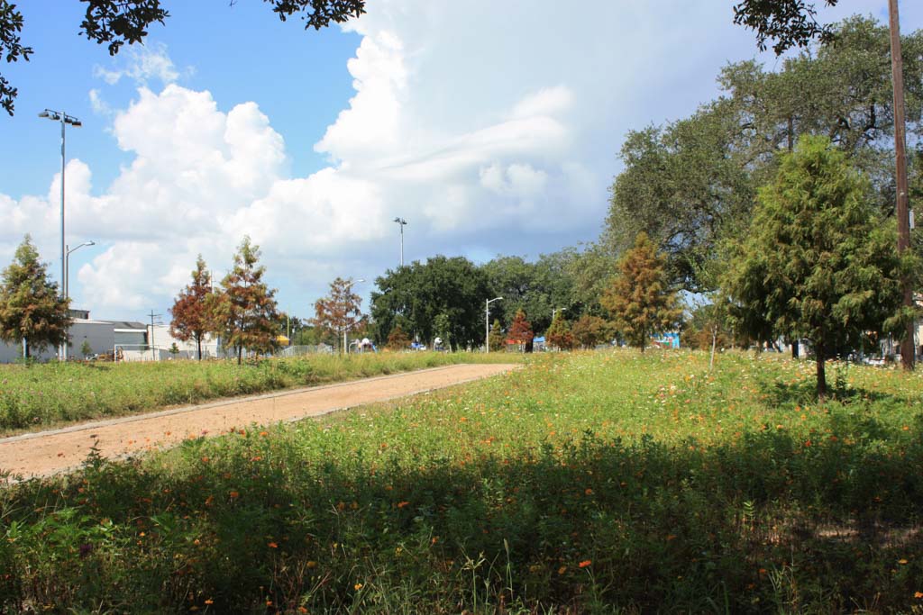
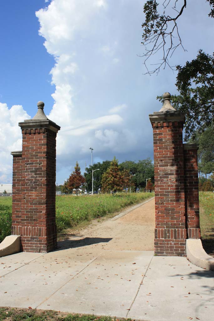
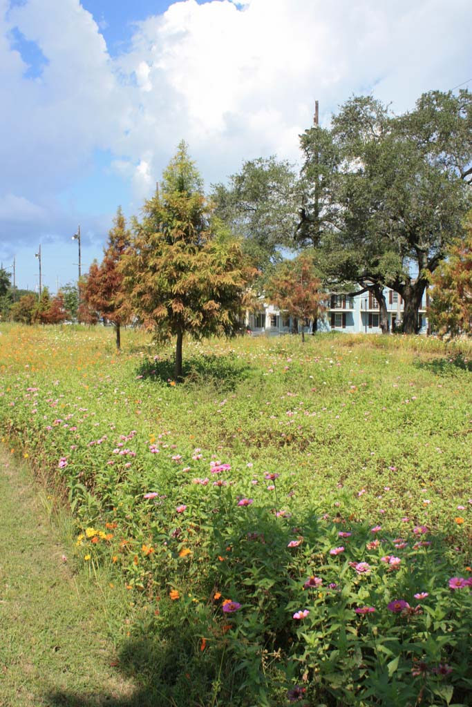
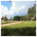
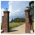
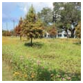
Much of the limited budget went to clearing up legal issues related to the site’s boundaries and its environmental condition as an industrial corridor. Nevertheless, a strong design strategy was developed that draws upon its ecology and builds upon its rich layers of history while also taking into account previous land uses and community input for proposed new uses. The historic alignment of the Carondelet Canal is marked by a mile-long bosque of bald cypress trees evocative of the Ciprière au Bois(Cypress Forest) that once covered the site, according to an early map. Within this grove is a rain garden filled with native plants. Rust-stained bands of paving trace the location of train tracks that once traversed the site. Plantings reflect the natural vegetation patterns of south Louisiana, with swamp species that transition to bottomland hardwoods and upland species as the Greenway meets the Metairie Ridge to the north and natural level of the Mississippi River to the south. The design provides open space for formal and informal activities. Georeferencing of eighteenth-century maps identified the location of the Carondelet Walk, a historic tow path alongside the former Carondelet Canal. There are new pedestrian pathways and community gardens near the location of the Lafitte community garden, once the longest continuously operated community garden in America, associated with the Lafitte public housing development.
What began through informal small-group discussions has now grown into an active nonprofit (Friends of Lafitte Greenway) with paid staff, regular events, and ongoing efforts to expand the Greenway’s impact through community partnerships and the addition of new features identified in the planning process. From the outset, the Greenway’s acceptance, its success to date, and the visibility of the nonprofit organization have come through social media, probably the first such public project in the city to have employed this innovative platform for community engagement. And while this new venture may look rather sparse in terms of features and plantings, its community impact has been far more apparent because of the participatory planning process through which it was created, as well as the connection the Greenway has facilitated among diverse neighborhoods and their residents.