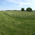
The Battle of Antietam took place on September 17, 1862, amid the agricultural landscape around Sharpsburg. Although the military outcome was technically a draw, Union troops successfully turned back the Confederate incursion into the north and created a political turning point in the Civil War. With generally positive news from Sharpsburg, President Abraham Lincoln proceeded to release the Emancipation Proclamation, which declared all enslaved people in rebelling states freed on January 1, 1863. Notably, this did not include the enslaved in Maryland, which remained with the Union and did not free its slaves until late 1864.
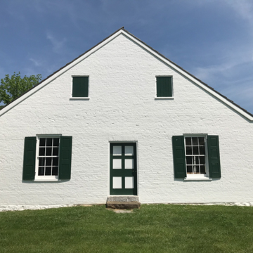
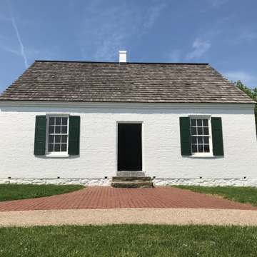
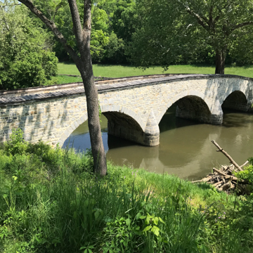
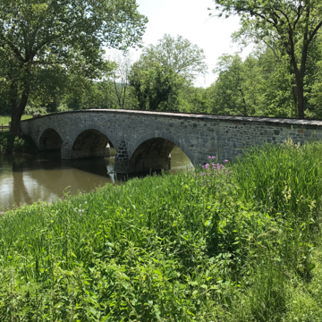
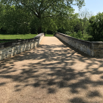
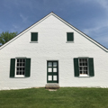
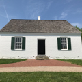
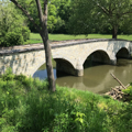
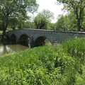
Starting in 1890 the U.S. War Department instituted a preservation and tourism plan for the battlefield. Much of the surrounding land remained in private hands, while the federal government acquired narrow rights-of-way to build a series of tour roads and provide access to key landmarks such as Dunker Church, Lower Bridge (Burnside’s Bridge), and the “Bloody Lane.” The “Antietam Plan” approach to battlefield preservation was in contrast to the major land acquisition that took place a few years earlier for Gettysburg and Chickamauga battlefields. Intended to be more cost effective while still fulfilling memorialization goals, this approach focused on purchasing narrow strips of land at key areas and leaving the surrounding property in private hands, on the assumption that it would remain agricultural indefinitely. It creates a distinctive tourist landscape of narrow one-way roads through the battlefield. The “Antietam Plan” of minimal land acquisition guided creation of a number of Civil War battlefield parks founded in the early twentieth century such as Appomattox, Petersburg, and Fredericksburg and Spotsylvania County in Virginia.
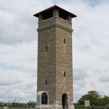
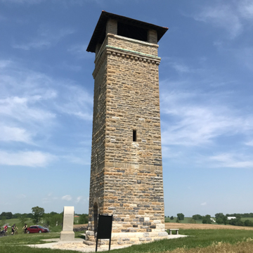
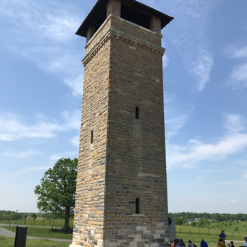
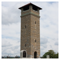
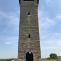
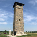
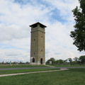
In addition to moving visitors through the landscape on tour roads, the War Department sought to create elevated vantage points for panoramic views of the battlefield, usually cast-iron observation towers. The substantial 60-foot limestone tower for Antietam was located next to the infamous “Bloody Lane” battle landmark, a sunken farm lane that became the site of heavy Confederate casualties during a flanking maneuver by the Union troops. Local contractor Jacob Snyder built the original open platform version of the tower, and the pyramidal tile roof was added in 1909.
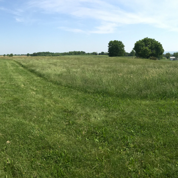
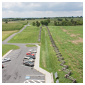
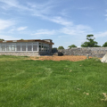
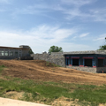
Visitors to Antietam Battlefield, including Civil War veterans, tourists, and military recruits taking part in training exercises, used the observation tower to experience a bird’s-eye view of the landscape. In 1933, Antietam and all the War Department national military parks were transferred to the National Park Service. This section of the battlefield was again reaffirmed as a key focal point in 1962 when the National Park Service built a new visitor center nearby as part of the Mission 66 park infrastructure improvement initiative. The elegant modernist visitor center includes fieldstone walls and an observation platform offering sweeping views of the remarkably preserved battlefield landscape.
References
Hall, Susan C., “Antietam National Battlefield, Observation Tower,” HABS No. MD-934-A, Historic American Buildings Survey, 2009. Prints and Photographs Division, Library of Congress, Washington, D.C.


