


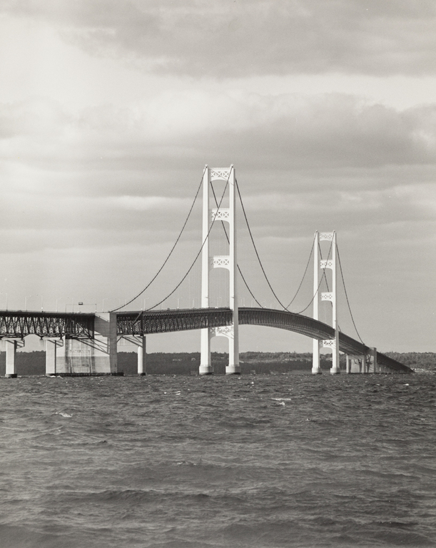

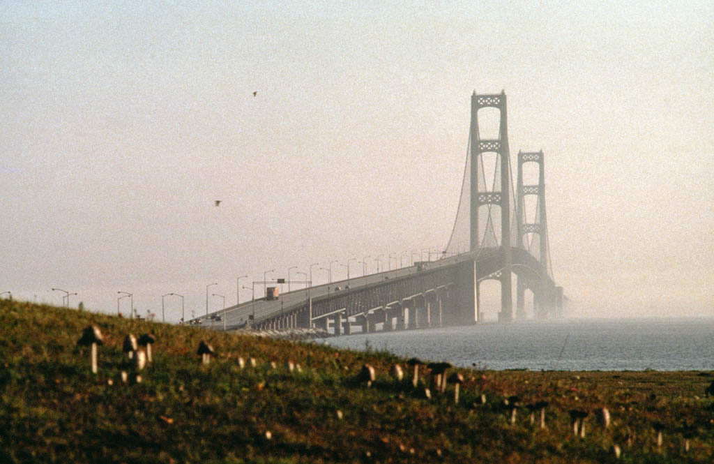

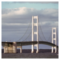
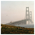
The Mackinac Bridge spans the five-mile-wide Straits of Mackinac and links the Upper and Lower peninsulas of Michigan. Since the achievement of statehood in 1837, Michigan citizens struggled with the question of how to join the two peninsulas. A series of bridges, causeways, or tunnels between islands were suggested, but people had to use ferries or travel through Chicago and Wisconsin to reach the other peninsula until the Mackinac Bridge opened. Plans to construct a bridge were drawn up in 1934–1935 but languished during the Great Depression and World War II. In 1950 the legislature established the Mackinac Bridge Authority, which selected three of the most prominent bridge engineers in the world to study the problem of bridging the Straits: David B. Steinman, consulting or designing engineer for some four hundred bridges all over the world; Othmar H. Ammann, formerly chief engineer for the New York Port Authority; and Glen B. Woodruff, chief engineer of design for the San Francisco–Oakland Bay Bridge and chief engineer on the rebuilt Tacoma Narrows Bridge. In 1951, when the results of their study reported that the building of a bridge across the Straits would be physically and economically feasible, the authority sought the financing.
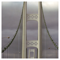
The authority retained Steinman to design the Mackinac Bridge. Built in just over three years at a cost of nearly $100 million, the four-lane bridge is 26,195 feet long. Each of two ivory-colored towers rises to over 552 feet above the water and each rests on a base of masonry sheathed in steel that reaches to bedrock 206 feet below water. Each tower measures 116 feet in diameter. The bridge's main span measures 8,614 feet from anchorage to anchorage and crosses the 280-foot gorge that slices east and west across the bottom of the Straits. In the center, the bridge clears the water by more than 150 feet, thereby permitting the safe passage of all ships that sail the Great Lakes. The bridge eliminated lines of cars at the ferries that sometimes (during deer-hunting season) stretched as far as seventeen miles and produced a waiting period of up to nineteen hours.