


The Pearl District, a neighborhood just north of downtown Portland, Oregon, is regarded as a model for late-twentieth-century urban renewal and revitalization. With buildings tracing Portland’s industrial past blended with new construction and a series of parks, the Pearl District offers a mix of residential, shopping, and entertainment.
Formerly a marshland north of the city and adjacent to the Willamette River, the area was originally part of John H. Couch’s 1869 addition to Portland, in which he platted land in the northwest portion by means of extensive landfilling. One- and two-story houses, home to mostly working-class European immigrants, were built near the North Park Blocks. By the turn of the twentieth century, with the construction of Union Station in 1896, the area was a transportation and freight hub that evolved into a prosperous industrial, manufacturing, and warehouse district with a network of rail lines and railway goods yards.
The Pearl District is also known for its brewery blocks. In 1864, with his purchase of the City Brewery, Henry Weinhard began a brewing business that would expand to multiple buildings throughout the district, along the west coast of the United States, and eventually as far as the Philippines and China. After many mergers, the company eventually became part of the Miller Brewing Company (in 1999, Miller moved brewing operations out of the Pearl District to the Olympia Brewery in Tumwater, Washington).
Transformation continued in the Pearl District as travel and shipping operations changed from water and rail to cars, trucks, and highways. Beginning in the 1950s, the district was slowly vacated. After the merger of the Spokane, Portland and Seattle Railway into the Burlington Northern Railroad in 1970, the freight industry continued to decline. When the land lease held by the railroads expired, those areas were abandoned and the remaining brownfields were sold.
During this transitional period, even as the area became derelict, it attracted artists drawn by its low rents and the large and flexible spaces the warehouses provided for living and working. The clustered warehouses eventually became known as “the Pearl.” It was named after Pearl Marie Amhara, an Ethiopian-born social worker and women’s rights advocate who occasionally organized dances in the abandoned warehouses and envisioned the area as a place where creatives might thrive. The name was also intended as a potent metaphor, suggesting that the studios and galleries inside the old warehouses were like pearls inside the rough exteriors of oyster shells.
In 1970, the City of Portland implemented a strategic planning process beginning with the appraisal of key development and commercial opportunities, roadway and infrastructure improvements, and parks and cultural opportunities. This strategic plan would guide the city’s future growth. In 1988, the Central City Plan set the foundation for Portland’s continued future development while also providing a finer level of detail for specific urban districts. Such district-level plans included designs, action items, and timelines for development agencies both public and private. The Pearl District was included in the 1992 River District Vision Plan and 1994 River District Development Plan, both of which emphasized converting warehouses and abandoned rail yards into a mixed-use neighborhood. These culminated in the 1998 adoption of the River District Urban Renewal Plan, which incentivized urban redevelopment and density in the Pearl District by providing tax increment financing for improvements within the district, relieving pressure on Portland’s urban growth boundary.
A 26-member steering committee composed of city officials, developers, community leaders, designers, and other stakeholders came together in 2000 to review development priorities for the Pearl District. This resulted in the City Council’s formal adoption of the Pearl District Development Plan in 2001, which now guides neighborhood development. This action plan addresses five key issues for the district: maintaining the unique character of the Pearl District; encouraging a diverse mix of uses, including housing, retail, and employment opportunities; becoming a model for compact growth; supporting the artist community; and supporting the existing businesses and industries that make the Pearl District unique. The plan further identifies goals and objectives for seven critical components, including the built environment, neighborhood amenities, housing, arts and culture, economic opportunities, edges and gateways, and transportation and parking. Fundamental to the success of the plan is the establishment of the Pearl District Business Association and the Pearl District Neighborhood Association, which address livability in the neighborhood and broaden communication between residents and city officials.
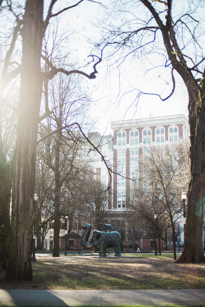
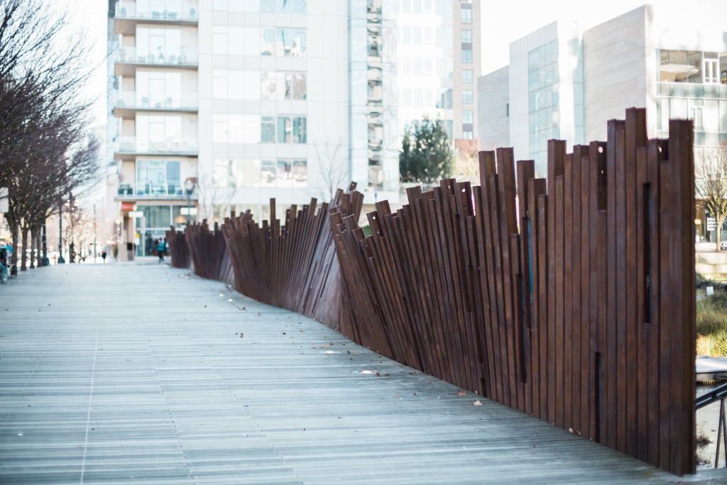
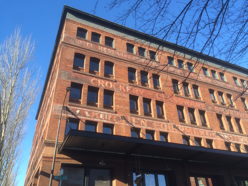
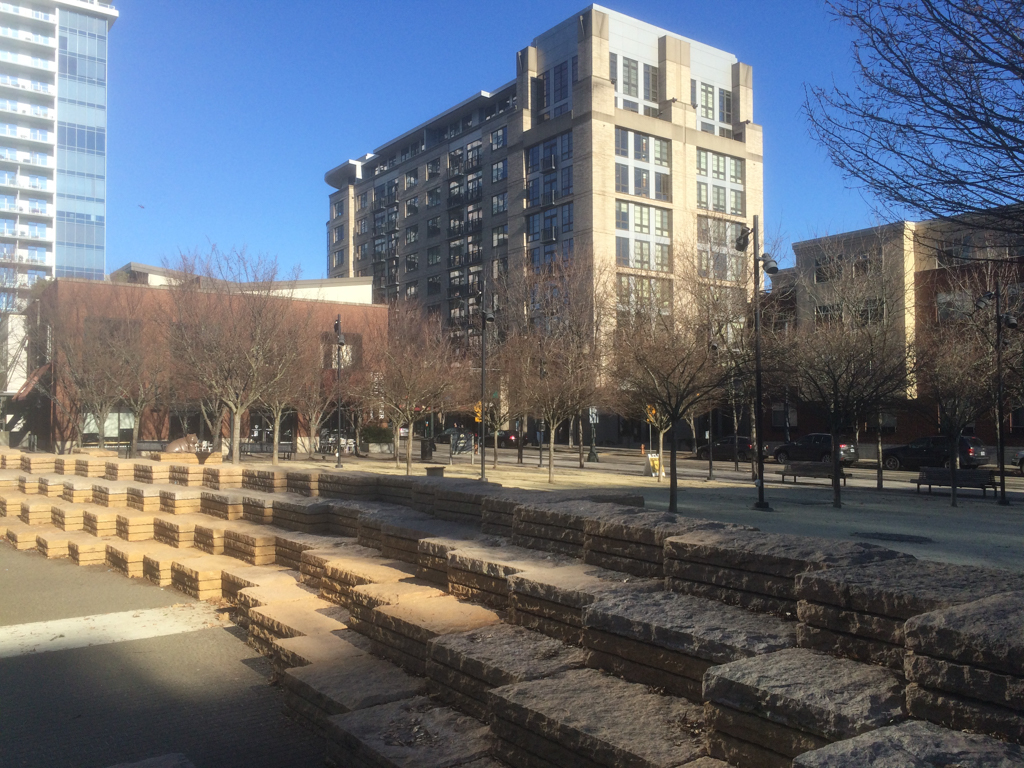
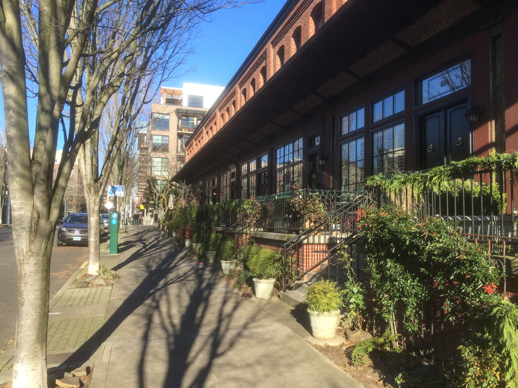
Today, the Pearl District is a vibrant community boasting a variety of housing opportunities (much of it increasingly upscale) along with retail and local eateries within a walkable urban context. Traces of the district’s industrial past can be seen today in the brick and steel structures: freight houses have been converted to luxury town houses; former warehouses now house shops raised above the street on former loading platforms; and murals and faded signs are painted on the sides of the old buildings. With its loading docks and alley-like feel, the area of Northwest 13th Avenue from Northwest Davis to Johnson streets has been designated a historic district. Some warehouses have been removed to make way for parks and new high-rise condominiums, adding to the eclectic character of the district. This model of urban renewal brings density back to the urban core and helps to preserve Portland’s urban growth boundary.
References
Boule, Margie. “Pearl District's namesake was a jewel of a woman.” The Oregonian, April 14, 2002.
“History of the Pearl District.” Explore The Pearl. Accessed April 18, 2017. www.explorethepearl.com.
“The Pearl District, Portland.” In Urban Villages and the Making of Communities. Edited by Peter Neal, 316-321. New York: Taylor and Francis, 2004.