You are here

Castle Rock and Indian Village

-A A +A
c. 1930. 1 Castle Rock Rd., 3 miles north of St. Ignace on the west side of I-75 at Exit 348
  • (Photograph by Roger Funk)
  • (Photograph by Roger Funk)

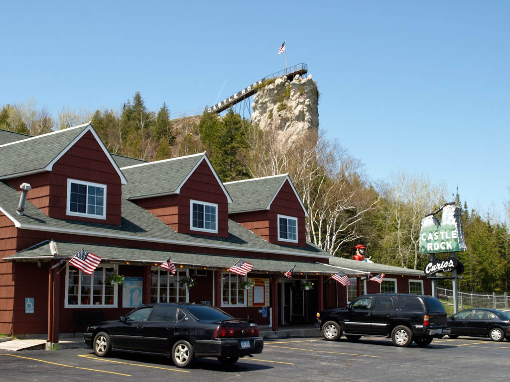
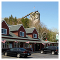
Castle Rock is an isolated sea stack of resistant Mackinac Breccia along a wave-cut cliff of ancient Glacial Lake Nipissing shoreline. Once a lookout of the Ojibwa, Castle Rock became a tourist attraction for early motorists traveling along U.S. 2 between St. Ignace and Sault Ste. Marie. Reached by a ramp and walkway, the outcrop that forms the shaft of the lookout tower rises 195.8 feet above the water level and 183 feet above the road level; it affords excellent views of Mackinac Island and Lake Huron. At the base of the lookout tower is a souvenir shop.

Writing Credits

Author: 
Kathryn Bishop Eckert
×

Data

What's Nearby

Citation

Kathryn Bishop Eckert, "Castle Rock and Indian Village", [St. Ignace, Michigan], SAH Archipedia, eds. Gabrielle Esperdy and Karen Kingsley, Charlottesville: UVaP, 2012—, http://sah-archipedia.org/buildings/MI-01-MK5.

Print Source

Cover: Buildings of Michigan

Buildings of Michigan, Kathryn Bishop Eckert. Charlottesville: University of Virginia Press, 2012, 561-561.

If SAH Archipedia has been useful to you, please consider supporting it.

SAH Archipedia tells the story of the United States through its buildings, landscapes, and cities. This freely available resource empowers the public with authoritative knowledge that deepens their understanding and appreciation of the built environment. But the Society of Architectural Historians, which created SAH Archipedia with University of Virginia Press, needs your support to maintain the high-caliber research, writing, photography, cartography, editing, design, and programming that make SAH Archipedia a trusted online resource available to all who value the history of place, heritage tourism, and learning.

,