You are here

Fredericksburg National Military Park

-A A +A
1936. 1013 Lafayette Blvd. (at Sunken Rd.)
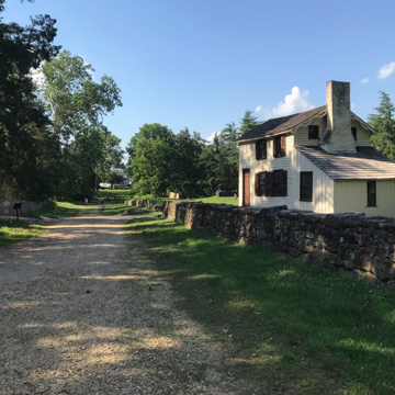
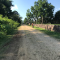
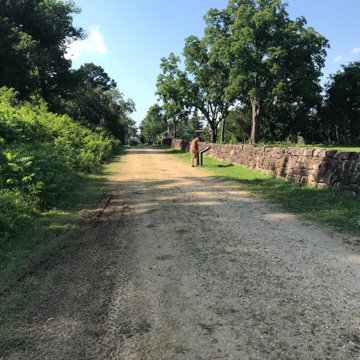
  • Sunken Road (Photograph by Mark Mones)
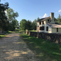
  • Sunken Road (with Innis House on right) (Photograph by Mark Mones)
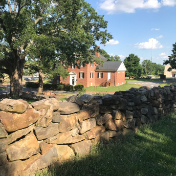
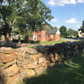
  • Sunken Road (with Administration Building and Visitor Center in background) (Photograph by Mark Mones)
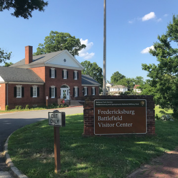
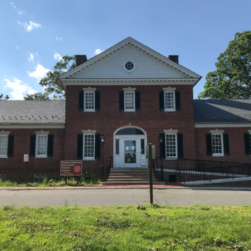
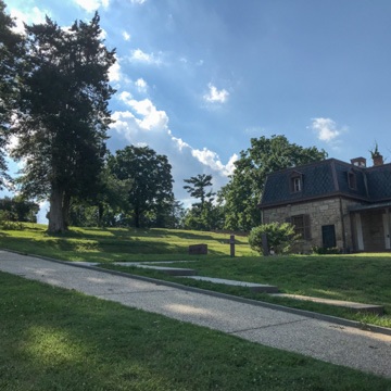
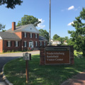
  • Administration Building and Visitor Center (Photograph by Mark Mones)
  • Administration Building and Visitor Center (Photograph by Mark Mones)
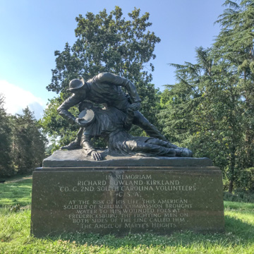
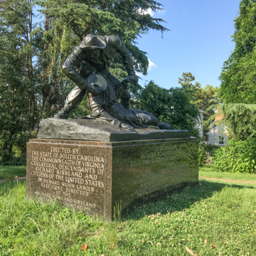
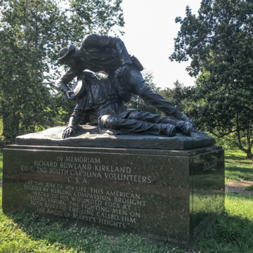
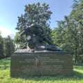
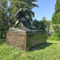
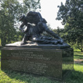
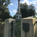
  • Kirkland Monument (Photograph by Mark Mones)
  • Kirkland Monument (Photograph by Mark Mones)
  • Kirkland Monument (Photograph by Mark Mones)
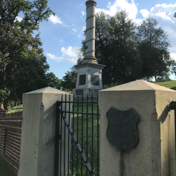
  • United States National Cemetery (Photograph by Mark Mones)
  • United States National Cemetery (Photograph by Mark Mones)
  • United States National Cemetery (Photograph by Mark Mones)

The Fredericksburg National Military Park marks the site of some of the fiercest fighting of the Battle of Fredericksburg (1862) along Sunken Road.

Writing Credits

Author: 
Richard Guy Wilson et al.
×

Data

What's Nearby

Citation

Richard Guy Wilson et al., "Fredericksburg National Military Park", [Fredericksburg, Virginia], SAH Archipedia, eds. Gabrielle Esperdy and Karen Kingsley, Charlottesville: UVaP, 2012—, http://sah-archipedia.org/buildings/VA-01-FR71.

If SAH Archipedia has been useful to you, please consider supporting it.

SAH Archipedia tells the story of the United States through its buildings, landscapes, and cities. This freely available resource empowers the public with authoritative knowledge that deepens their understanding and appreciation of the built environment. But the Society of Architectural Historians, which created SAH Archipedia with University of Virginia Press, needs your support to maintain the high-caliber research, writing, photography, cartography, editing, design, and programming that make SAH Archipedia a trusted online resource available to all who value the history of place, heritage tourism, and learning.

,