


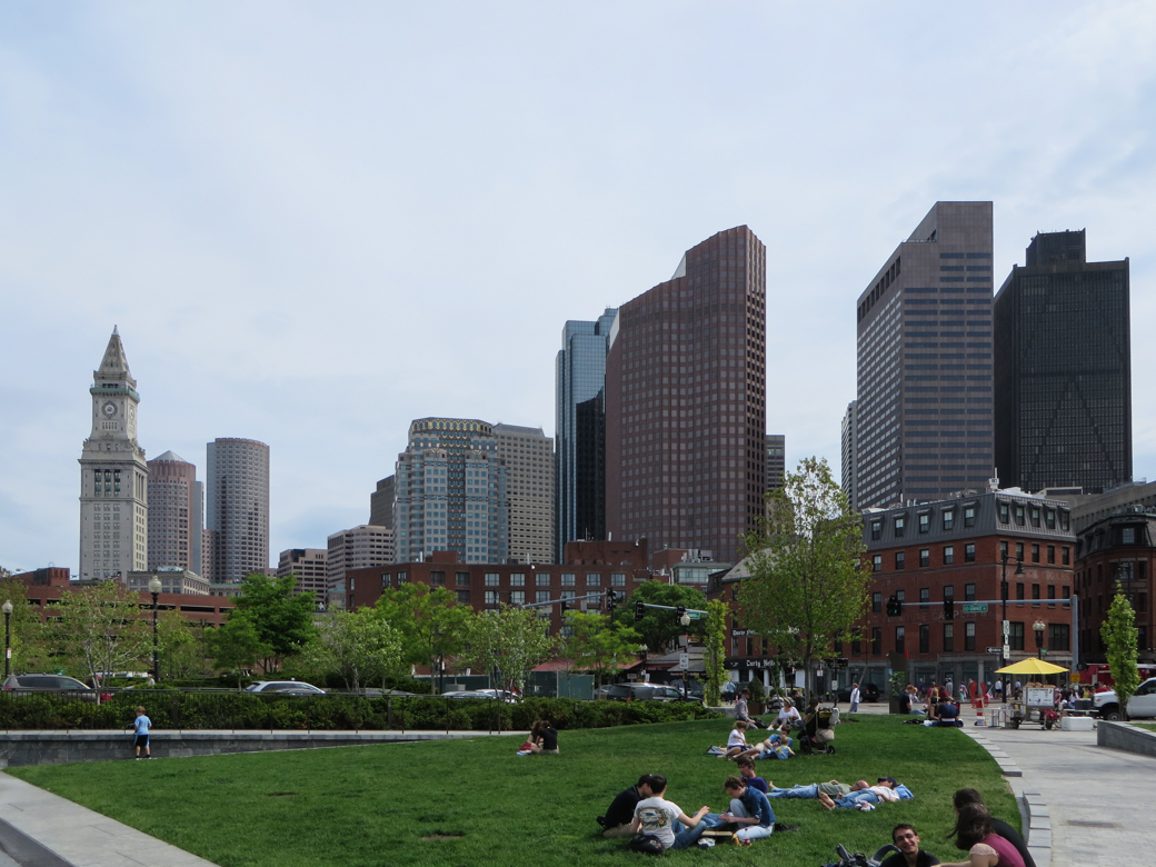
Heralded as one of the largest and most complex urban infrastructure projects in American history, the Central Artery/Tunnel Project, completed in 2004, remains a spectacular, if controversial, enterprise. Whereas statistics, especially those involving engineering feats, are indeed impressive (first, most, biggest, widest, deepest), the reality and implications of the entire undertaking have not been given sufficient attention. What indeed are the consequences of the underground ten-lane highway between the Southeast Expressway and Charlestown, the Third Harbor Tunnel between Boston and Logan Airport, and the connecting extension of the Massachusetts Turnpike?
Originally designed in the early 1950s as part of the federal highway program, the elevated six-lane Central Artery virtually separated the North End and the Waterfront from downtown Boston. Its insensitivity to urban issues was always over-shadowed by its inability to function efficiently as a traffic conveyor. Designed to accommodate 75,000 vehicles per day, at the time of its demise it handled nearly three times that number.
Landfill and excavation have been indigenous to the growth and development of Boston from its early days, but the Big Dig, as the depressed Central Artery/Tunnel Project was called, added a dynamic new chapter. The subsurface construction included concrete slurry walls extending 120 feet down to bedrock below the city streets, the cofferdam (a watertight structure from which water was pumped so that tunnel construction could take place inside), and the installation of highly sophisticated monitoring systems for controlling traffic and emergencies. Seven massive ventilation shafts symbolize above ground the network of four major highway interchanges connecting new roadways with the extant system.
The Central Artery/Tunnel Project was designed to alleviate traffic problems, boost the local economy, and reintegrate the North End and Waterfront to downtown Boston, by opening nearly eight miles of highway, about