

-
 (Photograph by ForestWander, CC BY SA-3.0)
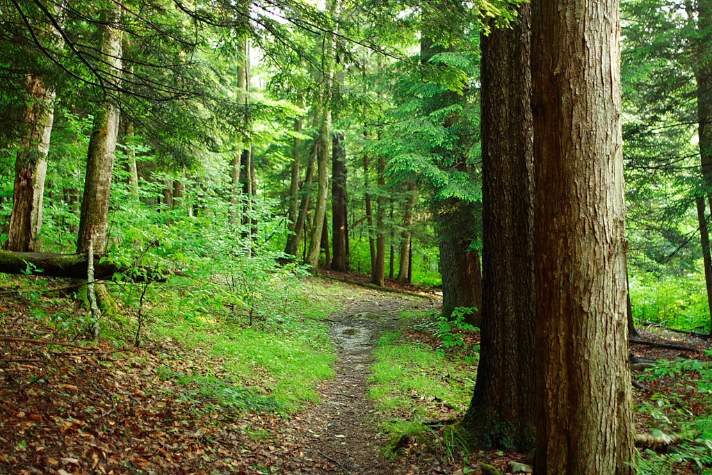
In 1921, U.S. Forest Service employee Benton MacKaye brought together land conservation with regional planning when he proposed linking over 2,000 miles of undeveloped Appalachian Mountain ridgeline as a continuous trail. This new trail would provide the residents of eastern, densely populated states their own playground for natural recreation already granted in great supply to residents of western U.S. states in national parks such as Yosemite and Yellowstone.
MacKaye believed that through “scouting,” trail users could escape the “complexities of commerce” and form recreation camps. These might also serve the temporarily unemployed, giving them a place to live simply, cook and sleep outdoors, raise food, and resettle rural regions as a counter to prevailing urban migrations. This oxygen-rich alternative to modern life, he contended, would stimulate recuperation from city-borne illnesses (such as tuberculosis and insanity) and provide much-needed perspective (both figuratively and literally, from the ridgeline) on industrialization—a life based on “retreat from profit.”
Thanks in part to the support of his influential friends (including Gifford Pinchot, Jane Adams, and Sidney Hillman), on March 3, 1925 MacKaye and the Regional Planning Association convened the first Appalachian Trail Conference (ATC) to organize the construction of new parts of the trail and make connections to existing trails. Arthur Perkins (ATC Chairman 1927–1931) and Myron Avery (ATC Chairman/President 1931–1952) led the effort to cut trails, blaze routes, set trail standards, generate maps, and negotiate with local officials. The full trail was completed by August 1937 using volunteer labor from the U.S. Forest Service, along with members of the Appalachian Mountain Club, the New England Trail Conference, and a loose federation of local and regional hiking clubs.
The 2,185 miles of the Appalachian Trail (AT) pass through remote areas of fourteen eastern states as the trail climbs from its lowest elevation (124 feet) to its highest (6,643 feet). The width of the trail varies, but with its protected corridor of adjacent land is 1,000 feet wide on average. Its most typical condition as a landscape is wooded, and thus its nickname “the green tunnel.” In northern stretches, the terrain is rocky and rugged, climbing above the treeline. Elsewhere, the trail passes through forest, farmlands, bogs, a few small towns, and historic sites (such as the Civil War battle site at Harpers Ferry, West Virginia, home of the current AT headquarters). In only a few short sections does the trail coincide with roads. Five hundred and fifty miles—one fourth of the total trail—passes through the state of Virginia.
In an effort to protect the trail, the National Park Service and the U.S. Forest Service made an agreement in 1938 to create a buffer zone one mile in each direction out from the trail, thereby preventing new roads and “incompatible development” along the route. However, their agreement was undermined by Congress’s approval of the Blue Ridge Parkway that same year, displacing 120 miles of trail that were not successfully rerouted until after World War II. Postwar pressures to develop portions of the trail for second homes and ski resorts led ATC leaders to rally Congress to pass a 1965 bill declaring the trail and its adjacent lands as belonging “in the public interest.” This led directly to the 1968 signing of the National Trails System Act (Public Law 90-543) by President Johnson, in which the Appalachian Trail and the Pacific Crest Trail were named the first National Scenic Trails. This act permitted the subsequent declaration of eight additional National Scenic Trails, twelve Historic Trails, plus authorization of 1,000 rail-to-trail conversions, and over 800 national recreational trails.
Today, the Appalachian National Scenic Trail is a marvel of cooperative management, with responsibility shared by the National Park Service, the U.S. Forest Service, the U.S. Fish and Wildlife Service, the Smithsonian Institution, fifty-three state parks and forest agencies, the Appalachian Trail Club, and dozens of other volunteer-staffed, citizen-led trail clubs. The National Park Service estimates as many as four million people hike a section of the AT each year.
References
Appalachian Trail Conservancy. “About the Trail.” Accessed May 8, 2015. www.appalachiantrail.org.
King, Brian B. and Robert A. Rubin Ed. “Trail Years: A history of the Appalachian Trail Conference.” Appalachian Trailway News, Special 75th Commemorative Anniversary Issue, July 2000.
MacKaye, Benton. “An Appalachian Trail: A Project in Regional Planning.” Journal of the American Institute of Architects 9 (October 1921): 325-330.
National Park Service. “Appalachian National Scenic Trail.” Accessed May 8, 2015. www.nps.gov.
Sutter, Paul. “‘A Retreat from Profit’: Colonization, the Appalachian Trail, and the Social Roots of Benton MacKaye’s Wilderness Advocacy.” Environmental History 4, no. 4 (October 1999): 553-577.