


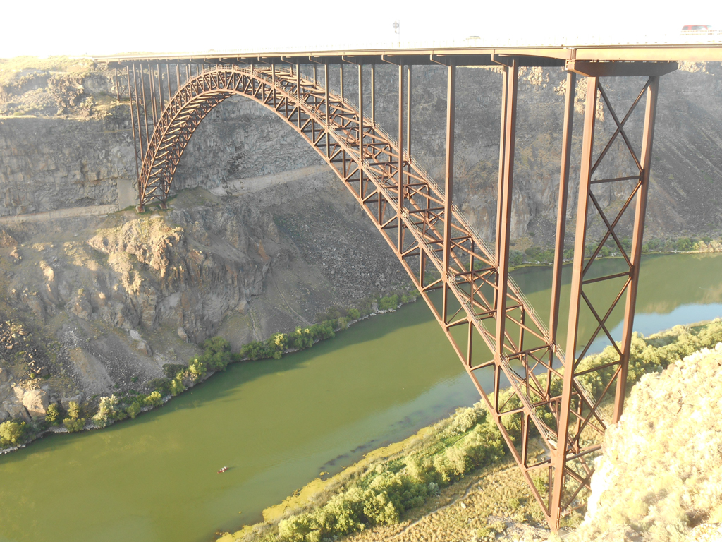

Twin Falls’ Perrine Bridge serves as an effective connector for multiple economic and cultural functions in South Central Idaho. It spans State Highway 93 across the Snake River Canyon, which, before 1927, had effectively separated the north and south sides of the Magic Valley. It is the only bridge leading directly into Twin Falls from I-84; the city would be isolated without it. The Hansen Bridge, located eight miles upstream, and the Owsley Bridge near Hagerman, twenty miles downstream, are too far away to effectively transport goods and people in and out of the city. The Perrine Bridge links the agricultural-based economies north and south of the Snake River Canyon while also connecting the horizontal order and comfort of the classically ordered city of Twin Falls with the vertical canyon landscape.
At the end of the nineteenth century, the bridge’s namesake, Ira B. Perrine (1861–1943), ran a ferry and toll bridge inside the canyon near his Blue Lakes ranch. This required slowly driving down the canyon, crossing the river, then returning up steep, single-lane, accident-prone roads; the journey took nearly an hour. This significantly slowed commerce between Twin Falls and Jerome counties until the 1927 completion of the first Twin Falls-Jerome Toll Bridge. In 1940, the state bought the private bridge, eliminated the tolls, and renamed it Perrine Memorial Bridge out of respect for the ailing founder. In 1966, just after completion of I-84 north of the canyon, the 39-year-old bridge failed an engineering inspection requirement of supporting 25-ton truck payloads. It was declared one of the country’s unsafe bridges and was downgraded to 22-ton payload capacity. Fortunately, the recently completed Hansen Bridge could accommodate heavier payloads but the re-route was an inconvenience.
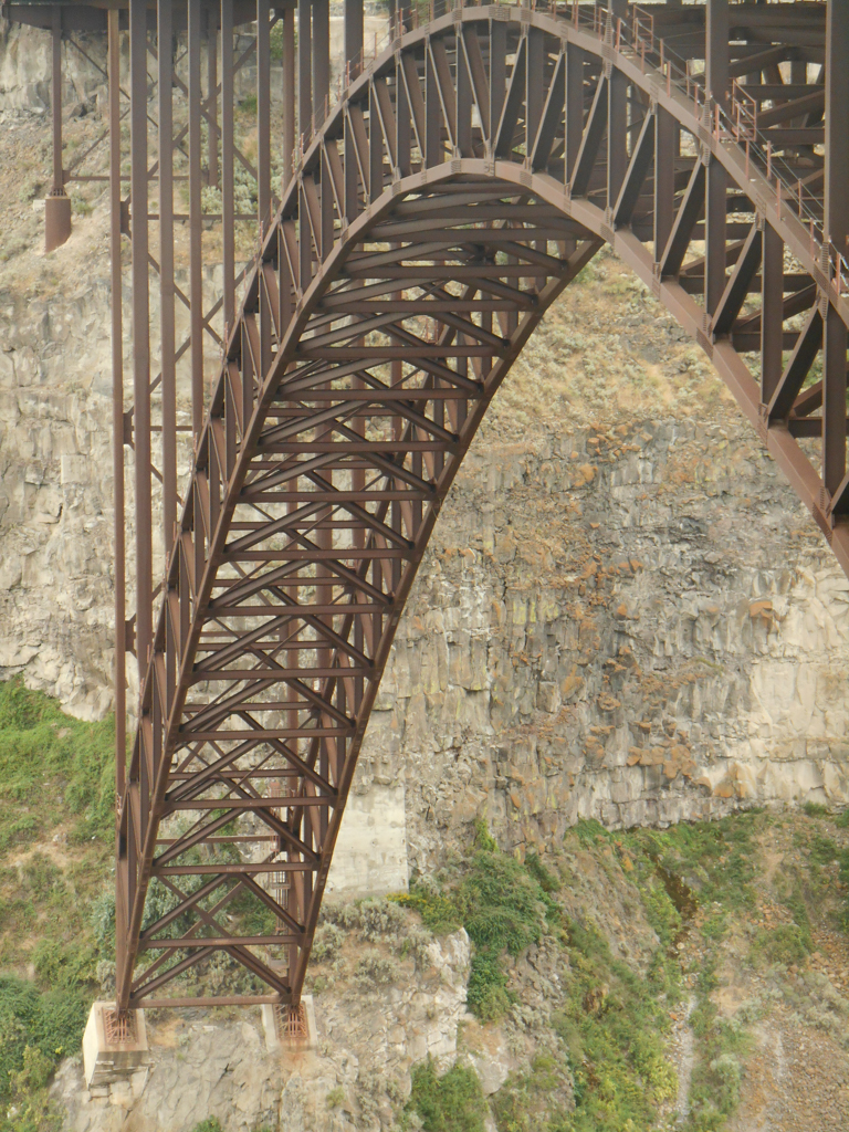
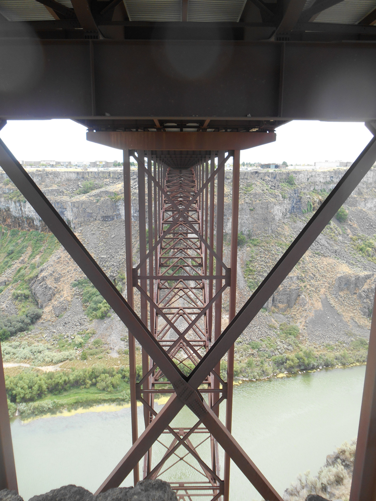
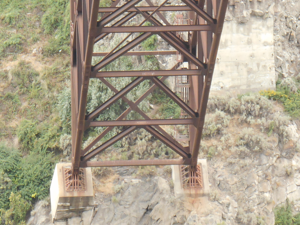
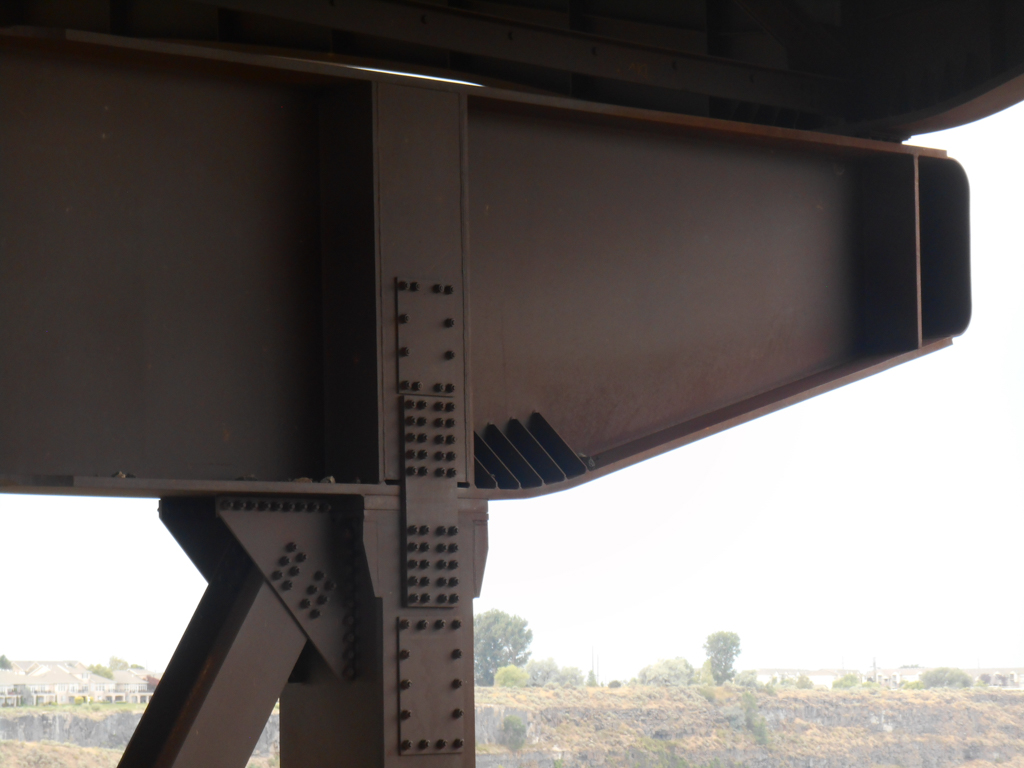
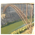
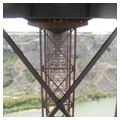
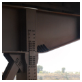
It was another seven years before the construction of the new Perrine Bridge began. Designed by HNTB (Howard, Needles, Tammen and Bergendoff) Engineering of Seattle, the bridge took three years to build and was completed in 1976. It supports a four-lane highway and pedestrian walkways. The trussed-arch design has a broad, sweeping arc that measures nearly 1,500 feet. Contractors Allied Steel of Hammond, Indiana, built the bridge for nearly $8.5 million using 4,330 tons of Cor-Ten steel. A relatively new form of steel, Cor-Ten eliminates the need for painting by forming a relatively stable, weatherproof layer of rust. At the base of the bridge, 30 tons of rebar steel reinforce 750 cubic tons of concrete footings; steel beams weighing as much as 70 tons are secured with bolts tightened to 20 tons. Spanning 993 feet between springings and 486 feet above the Snake River, the bridge was constructed from either end with gravity-defying cantilevered arcs that grew towards the center. The advantage of this method was that it required no expensive scaffolding underneath the arch as construction progressed. Safety nets were installed beneath to protect workers.
The bridge and its surrounding have become a popular recreation area. Within sight, just a mile west of the bridge, runs the Perrine Coulee Falls, where irrigation water plunges an estimated 150 feet from the canyon’s edge. When Perrine built his south canyon road, he was forced to route his grade under the falls; skittish horses had to be blindfolded to cross it. Today, visitors can hike the water-soaked trail underneath the falls. Also within view of the bridge, a mile-and-a-half upstream, is the 1974 jump site of Evel Knievel. Here, a large pyramidal dirt ramp commemorates Knievel’s spectacular failed jump attempt across the canyon. A mile further upstream plunges Shoshone Falls, the “Niagara of the West.” Closer to the bridge is Zip the Snake, a zip-line park built in 2012. But the Perrine Bridge is now perhaps best known as a BASE jumping destination. Interest significantly increased in 2003, when BASE jumper celebrity Miles Daisher, a sponsored member of the Red Bull Air Force, moved to Twin Falls and established one of two BASE jumping schools in town. He and his wife also started the annual Perrine Bridge Festival, where BASE jumpers raise funds for local children.
At the southwest end of the bridge is the Twin Falls Visitor Center, which offers views of the Perrine Bridge, the canyon, and access to the trail system along the canyon rim. The Perrine Bridge, as experienced from the Visitor Center, walking trails, and parks and golf courses to the west, forms a picturesque focal point within Snake River Canyon.
References
Bunnikel, Thomas. “New and Old Perrine Memorial Bridge.” CSI Idaho History Paper, Twin Falls Public Library Idaho and Pacific Northwest History Room, 1975.
Daisher, Miles. Email interview with author, June 12, 2016.
Gentry, Jim. In the Middle and on the Edge: A History of Twin Falls. Twin Falls, ID: College of Southern Idaho, 2003.
Idaho Transportation Department. Spanning the Canyon. Film. Mountain Film Producers, 1976.
Ricketts, Virginia. Shoshone Falls. Caldwell, ID: Caxton Printers, 2005.
“Strange Animal in Snake River, Weird Tales of Extraordinary Monster Brought in by Old Settler.” Twin Falls News, August 22, 1912.
“Twin Falls is jumping all over bungee jumpers.” Deseret News, September 10-11, 1991.
Westman, A., M. Rosen, P. Berggren, and U. Bjornstig. “Parachuting from fixed objects: descriptive study of 106 fatal events in BASE jumping 1981-2006.” British Journal of Sports Medicine42, no. 6 (2008): 431-436.