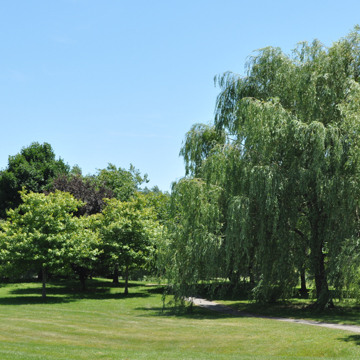
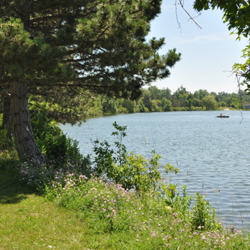
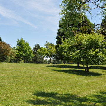
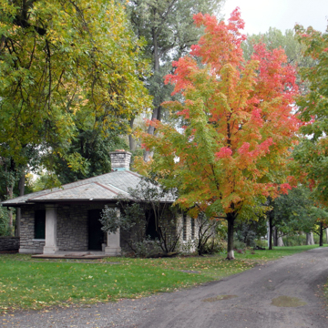
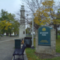
Buffalo’s Parks and Parkways was the first fully realized, integrated network of urban parks. The system was conceived by landscape architects Frederick Law Olmsted and Calvert Vaux in 1868 and executed between 1870 and 1898, although additions and alterations were made through the 1930s. When Olmsted, regarded as the father of American landscape architecture, presented his plan for the city of Buffalo at the 1876 Centennial Exposition in Philadelphia, he called it “the most complete system of recreation grounds of any city in the United States.” The plan (and Olmsted) won international recognition when it received honorable mention at the 1878 Exposition Universelle in Paris.
As early as 1866 Buffalo’s civic leaders, spearheaded by prominent attorney William Dorsheimer, wished to create one large municipal park to meet the recreational needs of a growing urban population. The committee consulted Olmsted and Vaux on three possible sites. Olmsted’s recommendation, contrary to expectations, was to convert all three sites into a continuous parkland connected by landscaped pleasure drives. He conceived an arc punctuated by three nodes on the west, north, and east—a vast, central pleasure ground flanked by smaller, subordinate parks.
Influenced by the Baroque plan of Paris as well as Buffalo’s own radial street plan, Olmsted provided 200-foot wide, tree-lined avenues which fed into the city’s linear thoroughfares via small, formally designed circles and squares. This interconnected system fostered the development of upscale residences adjacent to greenspaces and also provided dedicated open spaces in an expanding urban core. Olmsted also laid out Parkside, a picturesque streetcar suburb on the northern and eastern edges of the central pleasure ground. Similar to his project in Riverside, Illinois, the residential community featured broad, curvilinear streets, generous lot sizes, and mature landscaping. Olmsted saw Parkside as an integral part of his masterplan: not only would the tax revenue fund future park development, but the community itself – comprising finer houses on sweeping, canopied lawns – would, in a sense, extend the park experience from public to private spheres. Developed privately by the Villa Land Company, Parkside was not begun until the late 1880s.
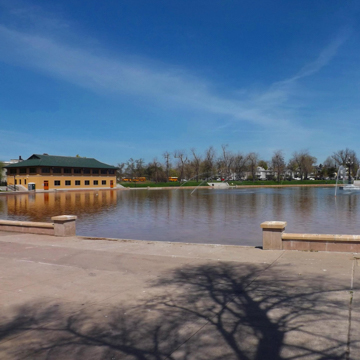
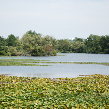
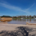
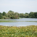
The system’s centerpiece in the north, now called Delaware Park, was simply notated in Olmsted’s drawings as The Park. The 376-acre parcel was the largest of the three pre-selected sites, and was designed as a passive recreational landscape manifesting design elements from the English romantic garden tradition, including an undulating meadow ringed by copses and a large water feature. The second parkland, The Front (now called Front Park), formed the western node of the arc and was designed for more active recreation. Created from 32 acres spanning an elevated bluff, Olmsted designed The Front as a formal counterpart to The Park, with a 3.5-acre terrace promenade overlooking the font of the Niagara River and Lake Erie. The Front and The Park were connected by a series of parkways and interstitial open spaces, including Gates Circle, Chapin Parkway, Soldier’s Place, Lincoln Parkway, Bidwell Parkway, Colonial Circle, The Avenue, Ferry Circle, Symphony Circle, Agassiz Place, Fillmore Avenue, and Porter Avenue—all of which were designed by Olmsted between 1868 and 1876 as part of the original scheme. Humboldt Parkway originally connected The Park to The Parade, the third parkland designed by Olmsted in 1874, which forms the eastern node of the arc. The intrusion of the sunken Kensington Expressway circa 1960 severed this connection, however, leaving The Parade isolated from the larger park system.
Olmsted incorporated pre-existing open spaces into his system, such as Columbus (formerly Prospect) Park, established in 1862, and Forest Lawn Cemetery (1850), which abuts Delaware Park on the southwest. The Front made use of its adjacency to the grounds of the old Fort Porter to the north. In some ways, Olmsted’s park system even appropriated the landscaped grounds of the New York State Asylum for the Insane, designed by Olmsted in conjunction with architect Henry Hobson Richardson in 1871. In 1887, Olmsted created plans for four minor parks that utilized public greenspaces for the Board of Park Commissioners: Bennett Place, the Terrace Parks, Masten Place, and Day’s Park. The latter, in the Allentown neighborhood, survives while the first three have been lost or are in disrepair.
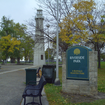
Between 1893 and 1896, Olmsted created Cazenovia and South parks, which extended the arc southward, thereby ringing the city with open spaces and continuing the system into the neighboring municipality of Lackawanna. The two parklands are connected, again, by a series of smaller open spaces and parkways, including the three-acre Heacock Place (a pre-existing greenspace that Olmsted appropriated), McKinley Parkway, McClellan Circle, Red Jacket Parkway, and McKinley Circle. Riverside Park, in the northwestern suburb of Black Rock, was established in 1889 and designed in 1898 by Olmsted’s sons, John Charles and Frederick Law Olmsted, Jr. It was connected to the larger system by the Scajaquada Parkway (lost to the eponymous expressway in 1962) and the unrealized Roesch Avenue.
Parkways and avenues were critical elements of the design. Based on the Baroque plan of Paris, Olmsted overlaid radial streets with reciprocal site lines punctuated by landscaped nodes over Buffalo’s extant street plan. The first Olmsted-designed approaches included four parkways (Chapin, Bidwell, Lincoln and Humboldt) and three avenues (Porter, Richmond or “The Avenue,” and Fillmore), which connected The Park, The Front, and The Parade. Combined, these landscaped thoroughfares added another 125 acres of greenspace as well as circulation from which commercial traffic was prohibited.
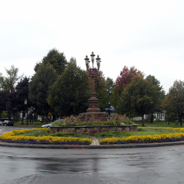
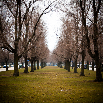
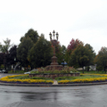
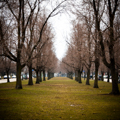
Totaling three miles, the parkways measured 200 feet wide and constituted dual roadbeds separated by a large median. All the parkways and medians were lined with allées of mature trees, while adjacent greenswards offered pathways and provided setbacks from development. The avenues, totaling four miles, were 100 feet wide and comprised a single drive, also edged with trees. Formally landscaped circles and squares (which Olmsted called “places,” alluding to French precedents) marked the junctions or termini of the boulevards. These included The Circle (now Symphony Circle), a 500-foot-diameter roundabout at the intersection of Porter and Richmond avenues; the 490-foot-diameter Agassiz Place, which joined Humboldt Parkway and Parkside Avenue with the carriage drive in The Park; Soldier’s Place (now Circle), at the confluence of Lincoln, Chapin, and Bidwell parkways, which was the largest circle at 700 feet in diameter; the 510 x 465–foot square, Bidwell Place (now Colonial Circle), marking Bidwell Parkway’s conjunction with Richmond Avenue; Chapin Place (now Gates Circle), a 500 x 420–foot square at the southern end of Chapin Parkway; Ferry Circle at Ferry Street and Richmond Avenue; and The Bank, which conjoined three city streets.
When Olmsted designed Cazenovia and South parks, another series of approaches were added to the southern end of the system, known as the South Side parkways. These included South Side Parkway (renamed McKinley Parkway), which connected South Park to Heacock Park, a pre-existing public square; and Red Jacket Parkway, which extended the system to Cazenovia Park. Red Jacket Parkway and the northern portion of McKinley Parkway were opened in 1897, although the southern portion of the latter, which extended into the neighboring municipality of Lackawanna, took several more years to complete due to engineering as well as bureaucratic obstacles. Two “places” were also constructed at this time: South Parkway Circle (now McKinley Circle) and Woodside Circle (now McClellan Circle), at the junction of the two aforementioned parkways. Concurrently, Scajaquada Parkway was built from The Park westward to Niagara Street, and was intended as an approach to Riverside Park, designed by the Olmsted Brothers in 1898; however, this connection was never fully realized.
Management of the parkways fell under the aegis of the Board of Park Commissioners rather than city agencies. Park commissioners prohibited commercial development along these corridors and regulated signage in an attempt to keep the thoroughfares as green as possible. Nonetheless, various Olmsted designs were changed over time, and when the Board of Park Commissioners was disbanded in 1915, many of the safeguards preserving the greenways were circumvented or nulled. Commercial traffic was admitted and circles were reduced in size to aid traffic: the central islands of Ferry and Agassiz circles were eliminated while The Bank was lost entirely. Most invasively, Humboldt Parkway was eradicated for the Kensington Expressway in 1960, which entailed the wholesale felling of trees and resulted in the bisection of The Park as well as the isolation of neighborhoods on either side. Restoration efforts resulted in the replacement of the central islands at Symphony and Ferry circles in 2002. Replicas of historical lighting were installed along Lincoln, Chapin, Bidwell, and Red Jacket parkways as well as McClellan and McKinley circles.
The Olmsteds’ relationship with the City of Buffalo was severed in 1915 with the dissolution of the Board of Park Commissioners. Over the course of three decades, however, Olmsted, his partners, and their successors shaped the city of Buffalo. While a few parklands and thoroughfares have been lost to development and others have been altered, the core of Olmsted’s revolutionary masterplan survives intact. Various elements of the system were listed on the National Register of Historic Places in 1982 for their significance within the history of American urban planning. Since 2004, the historic parks have been stewarded by the Buffalo Olmsted Parks Conservancy, which has implemented several restoration efforts.
References
Broderick, Stanton M. “Buffalo’s Olmsted Parks and Parkways System.” Olmsted in Buffalo. Accessed March 16, 2021. https://www.olmstedinbuffalo.com/.
Kowsky, Francis R., ed. The Best Planned City: The Olmsted Legacy in Buffalo. Buffalo: Burchfield Art Center, 1992.
Kowsky, Francis R. “Municipal Parks and City Planning: Frederic Law Olmsted’s Buffalo Park and Parkway System.” Journal of the Society of Architectural Historians 46 (March 1987): 49-64.
Rogers, Elizabeth Barlow. Landscape Design: A Cultural and Architectural History. Harry N. Abrams, Inc., 2001.
Ross, Claire L., “Olmsted Parks and Parkways Thematic Resources,” Erie County, New York. National Register of Historic Places Registration Form, 1982. National Park Service, U.S. Department of the Interior, Washington, D.C.


